Statistics
According to my AllTrails.com recording of this hike to Maggie’s Peaks (August 24, 2017), it was:
- Distance: 4.7 miles
- Elevation Gain: 1762 feet
- Moving Time: 2 hours 4 minutes
- Total Elapsed Time: 2 hours 44 minutes
- Average Speed: 2.3 mph
(I also did this same hike in 2016, but I didn’t go beyond Maggie’s Peaks like I did in my 2017 trip.)
A Difficult But Favorite Hiking Trail
Perhaps my all-time favorite hike in the Lake Tahoe area has been going up to Maggie’s Peaks. I first did this hike during one of my family’s annual trips to Lake Tahoe in 2014. It was so enthralling and breathtaking that I have gone back every year since.
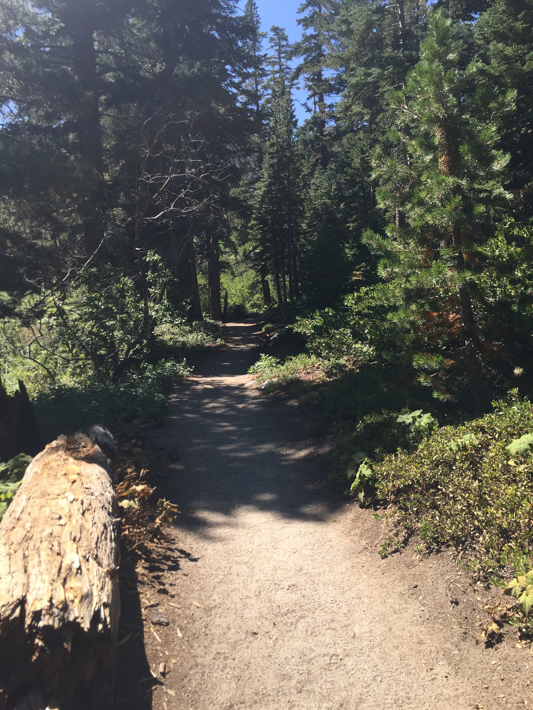
But it is also one of THE hardest hikes I have ever done that didn’t involve rock scrambling. Most hiking trail websites rate it as a “Moderate” level (though I vaguely remember seeing it listed as a “Hard” level hike once), but it is definitely on the more advanced end of Moderate. To begin with, you are already at a pretty high altitude (about 6800 feet above sea level at the trail head). The trail then climbs nearly 1800 feet in elevation to the very top of Maggie’s Peak North. And considering all of that climbing happens in the span of just 1.75 miles of hiking, that’s A LOT of uphill.
Even myself being in relatively good cardiovascular shape, I always have to stop quite a few times. But that isn’t to say that you can’t do it if you aren’t in the best of shape! Just take your time, bring lots of water and maybe extra snacks. Also bring your patience … and you will be rewarded with some the most stunning views of the Lake Tahoe area I have ever witnessed.
Trailhead
The trailhead is Bayview Trailhead, which is in the Bayview Campground just across the highway from Inspiration Point, where everyone seems to go for the views of Emerald Bay. Parking for the trailhead itself is about a quarter of a mile up from the entrance. However, I have never had luck finding parking up there. Instead, I try to find parking in the parking lot for the campground and overflow from Inspiration Point. One year, I couldn’t even find parking at the campground lot and had to park down the road along Highway 89.
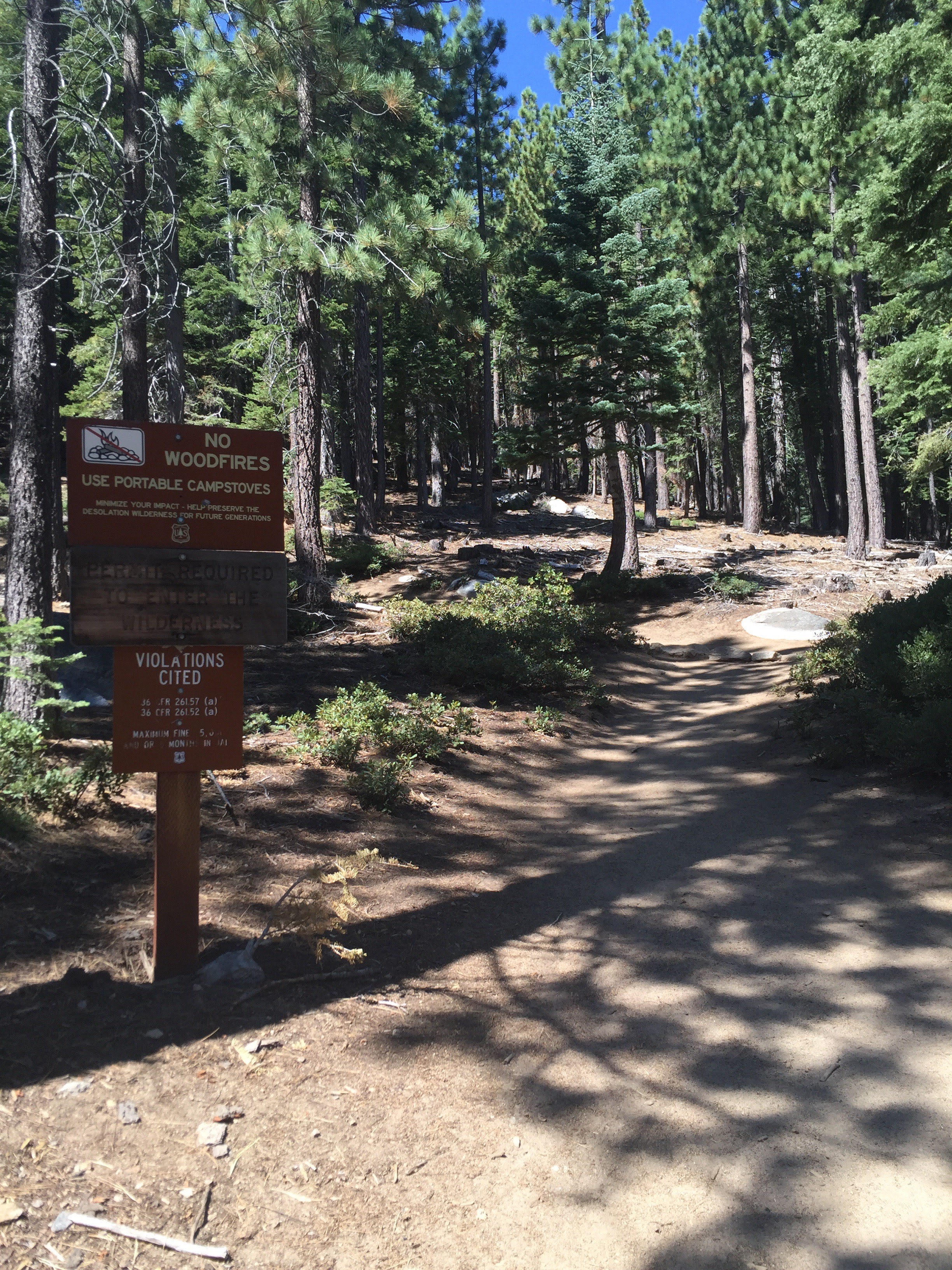
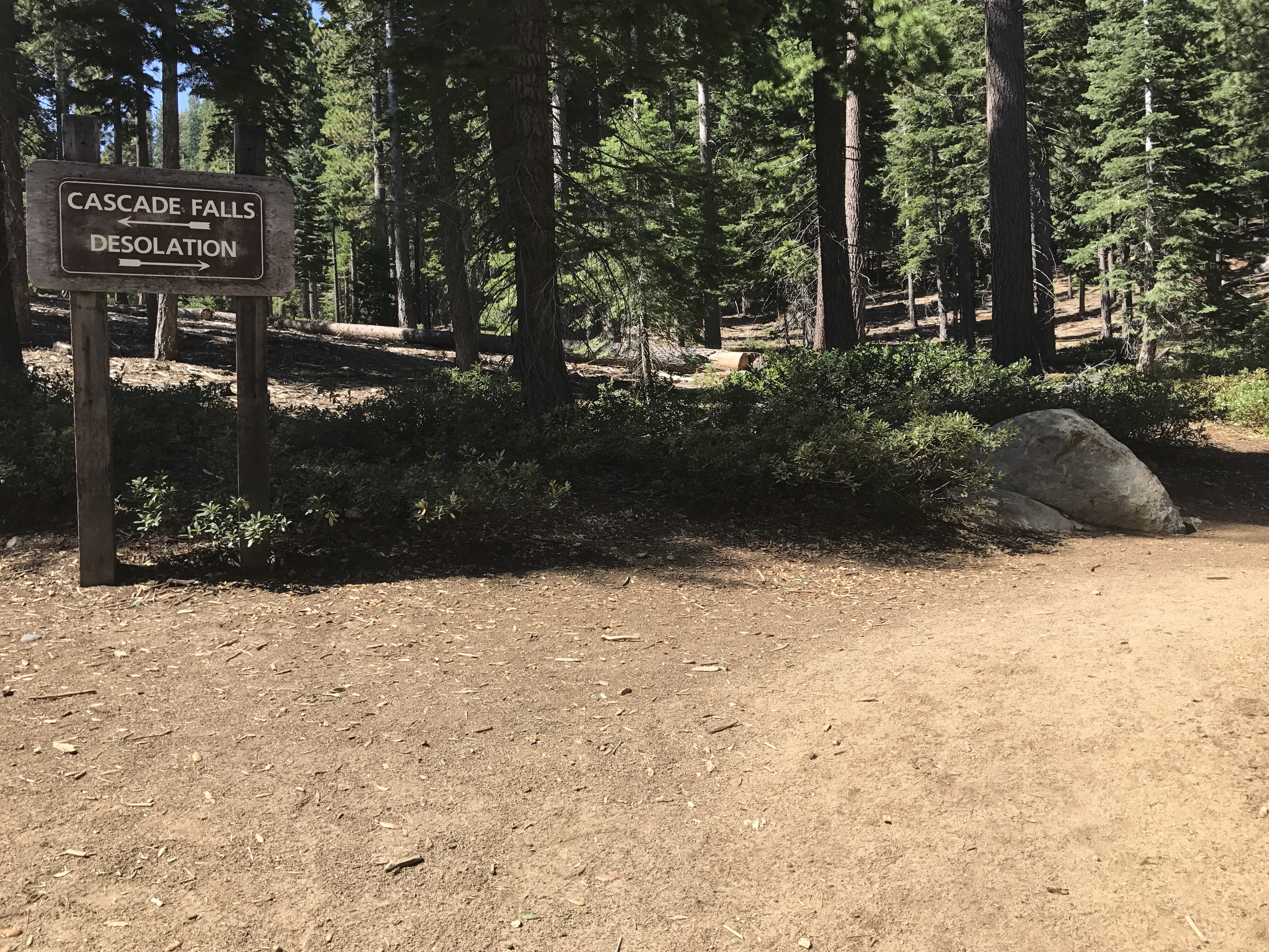
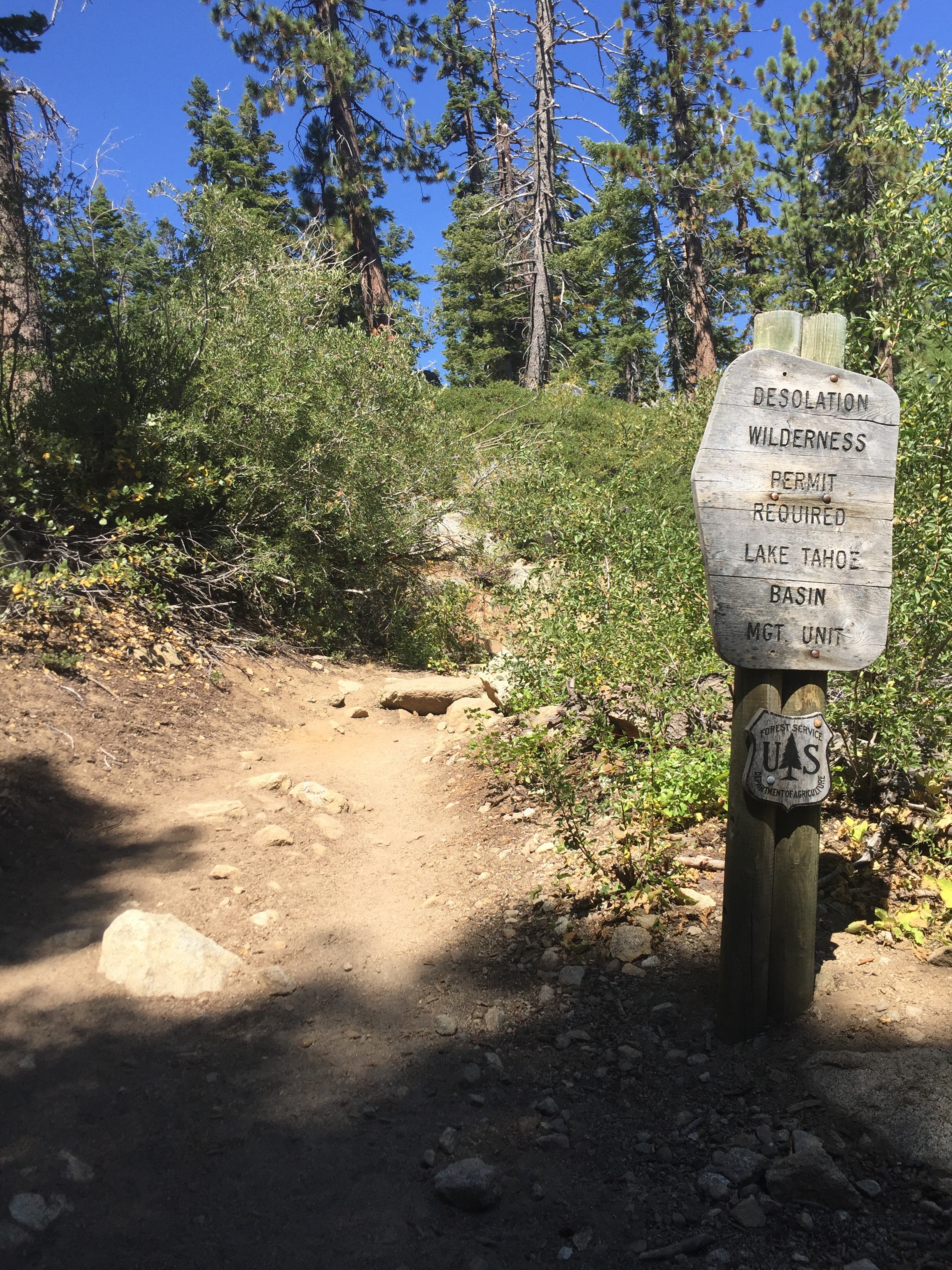
At the trailhead, there are signs and lots of information about the area and Desolation Wilderness. This trailhead is busy and always packed because it leads to Cascade Lake and Cascade Falls. Cascade Lake is very popular destination for families as it is a relatively short and easy hike. This trailhead also leads to Granite Lake Trail that goes into Desolation Wilderness, up to Granite Lake, Maggie’s Peaks, and further to Upper Velma Lake. If you plan on going into Desolation Wilderness, you need to fill out a permit. Blank permits are located in the permit box at the trailhead.
Very important for me to know is whether or not a trailhead has restrooms. As this one is at a campground, there are toilets to use before you embark on your hike, if you need.
Scenic Vista
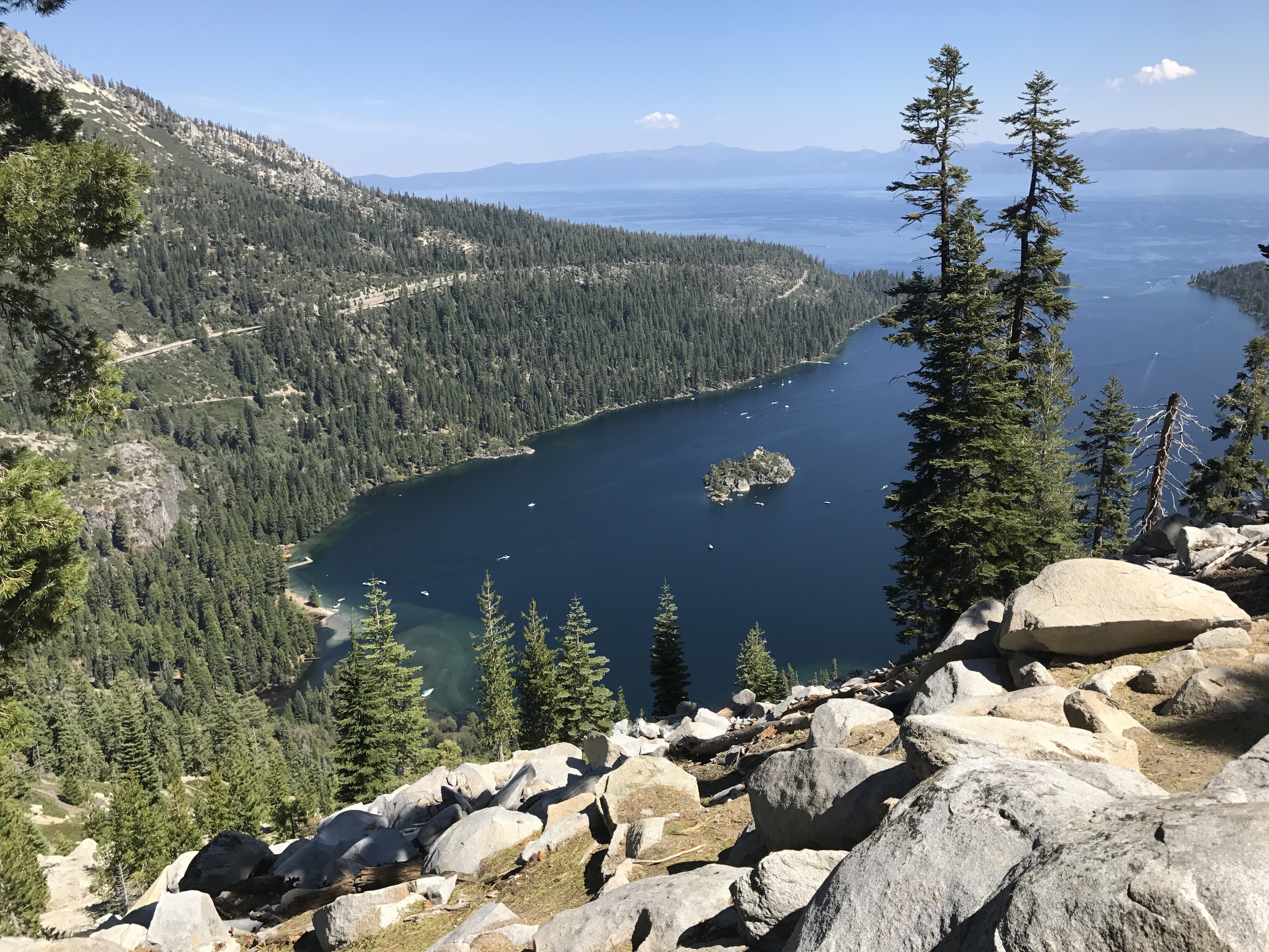
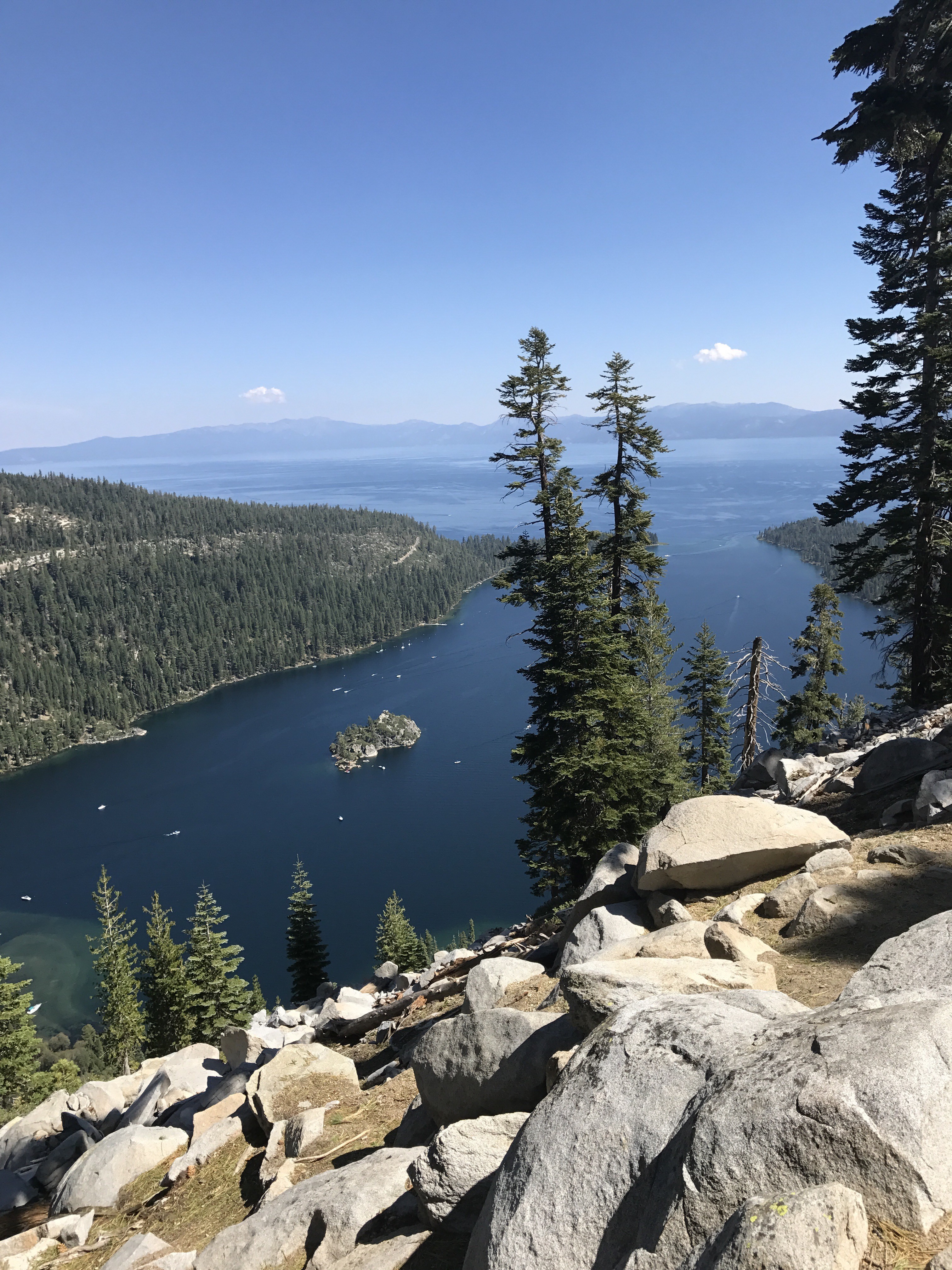
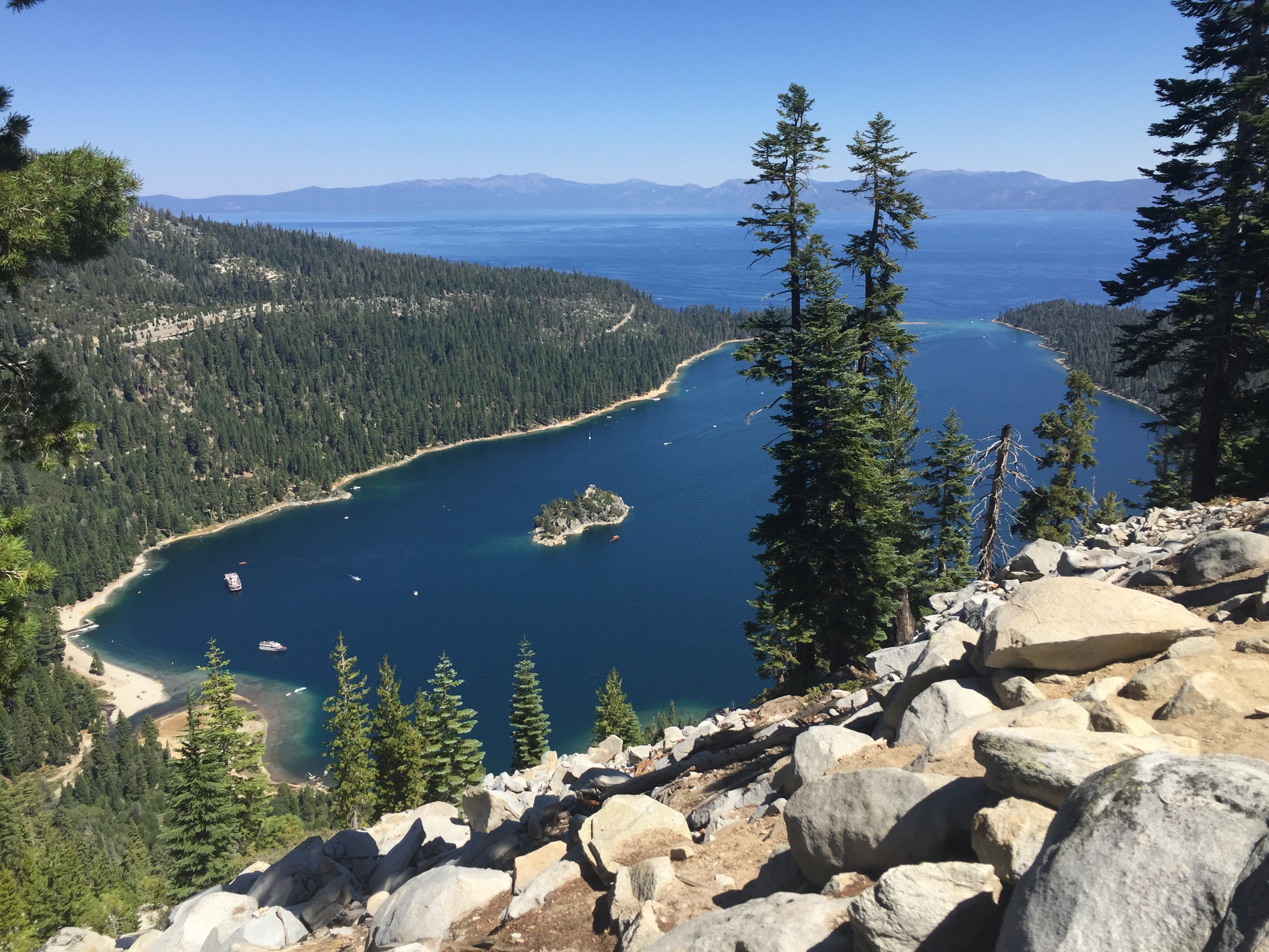
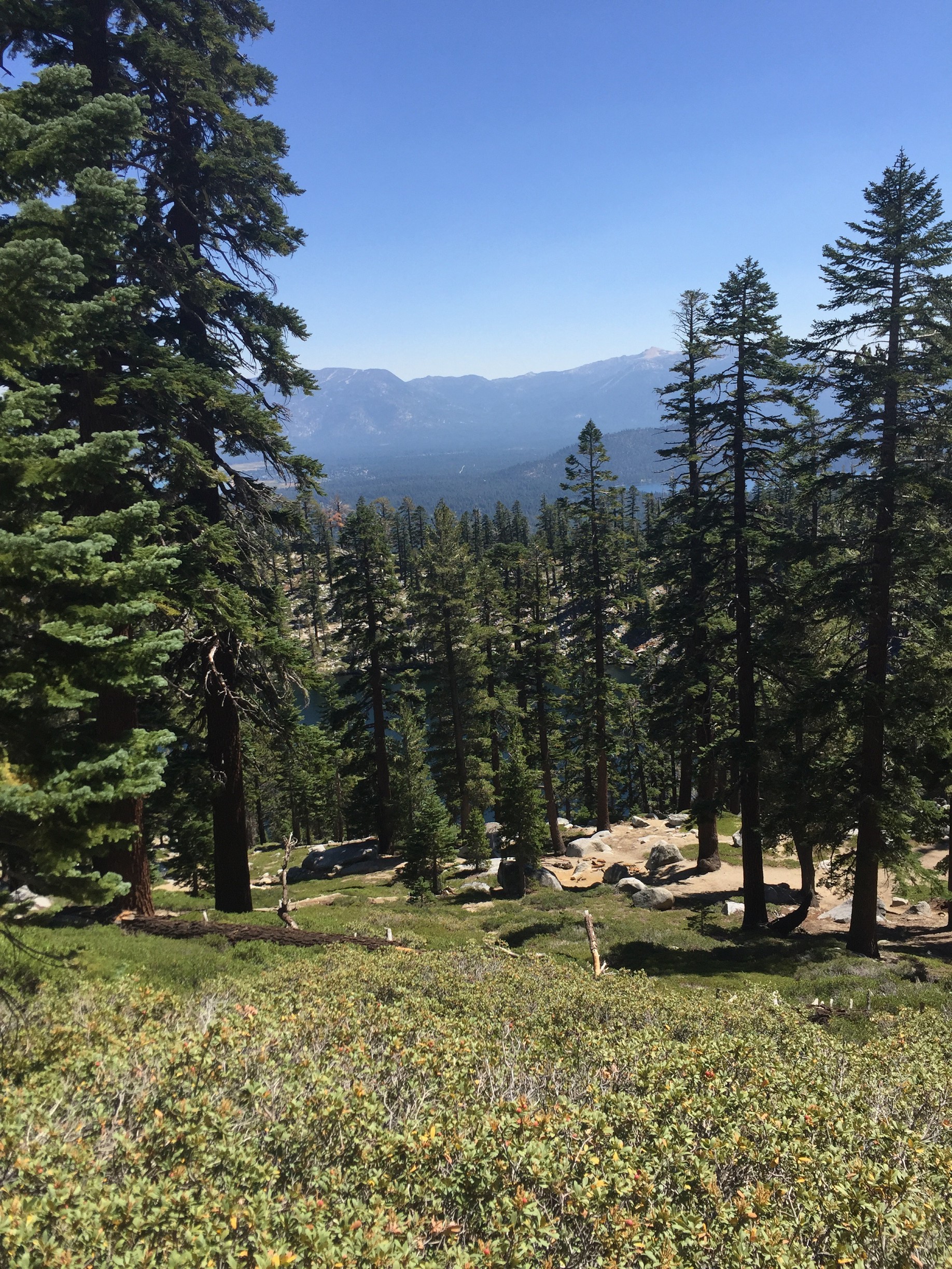
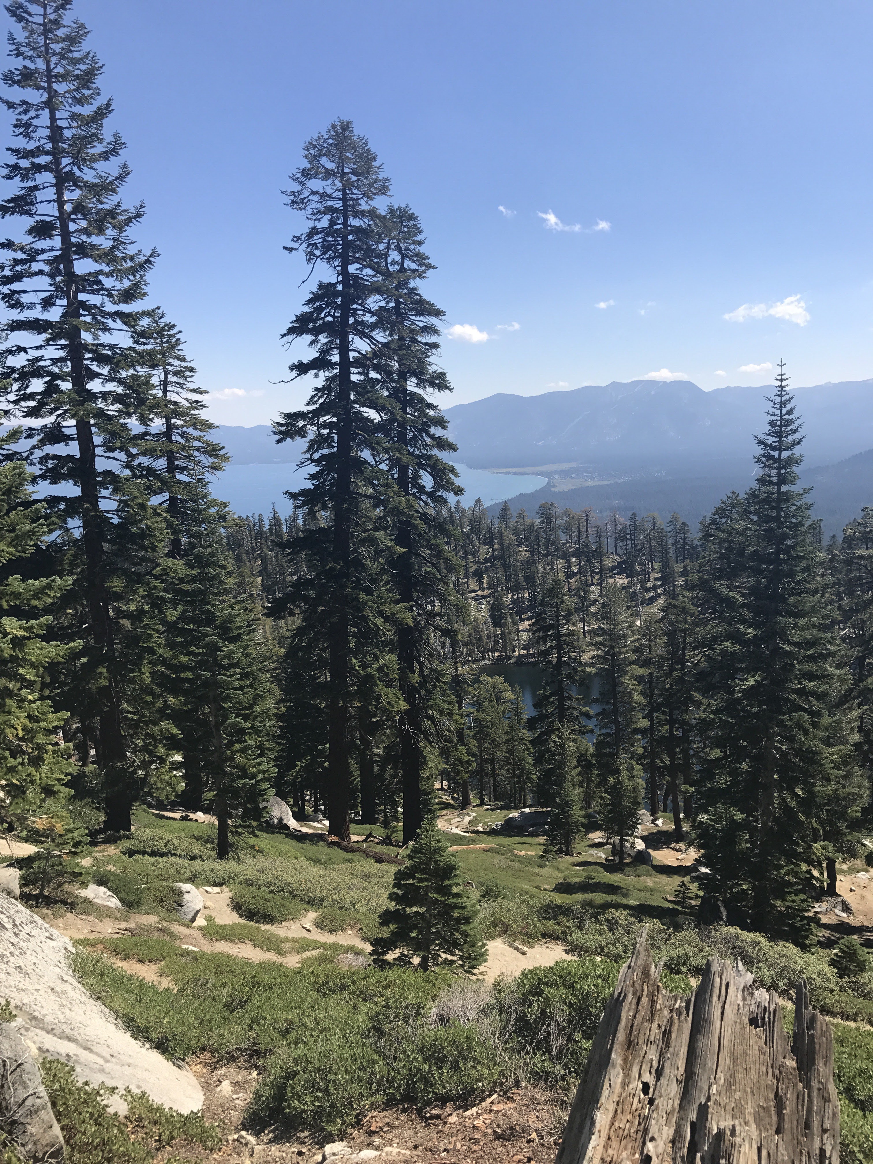
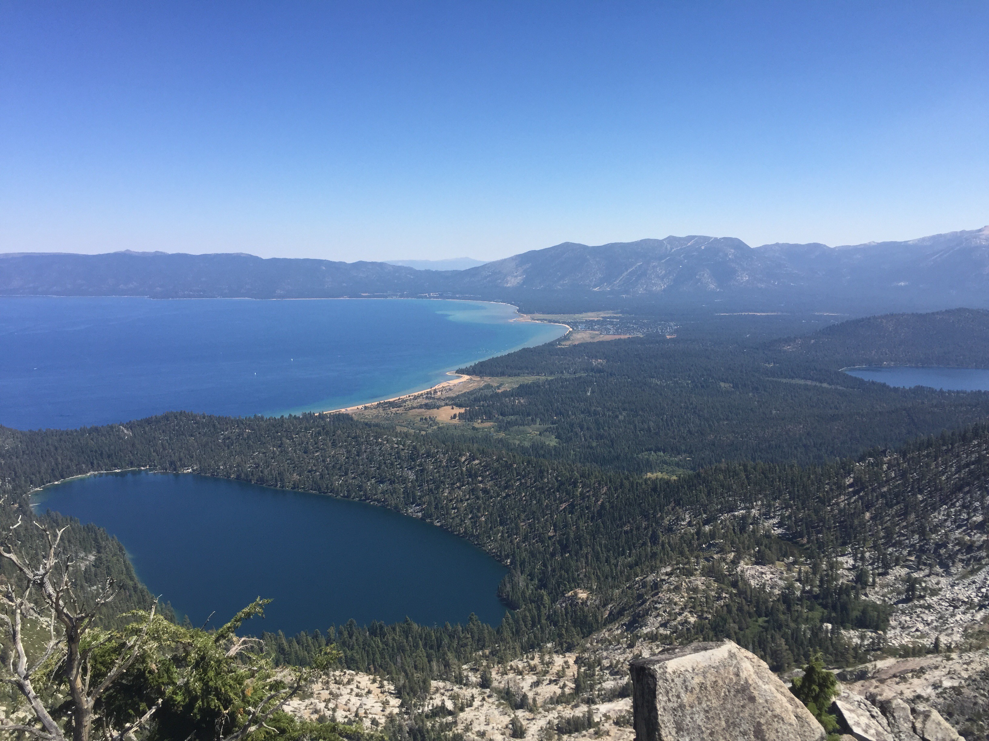
There are two scenic overlooks within the first 2/3 mile or so. One or both are welcome places to rest. The first (at about the 1/2 mile point) is decent, but the second at the 2/3 mile point is spectacular, with mostly unobstructed views of Emerald Bay. On a clear day, you can see Lake Tahoe going off the horizon and the deep, radiant blue water of Emerald Bay. Definitely a nice spot for taking pictures.
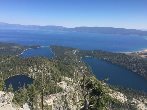
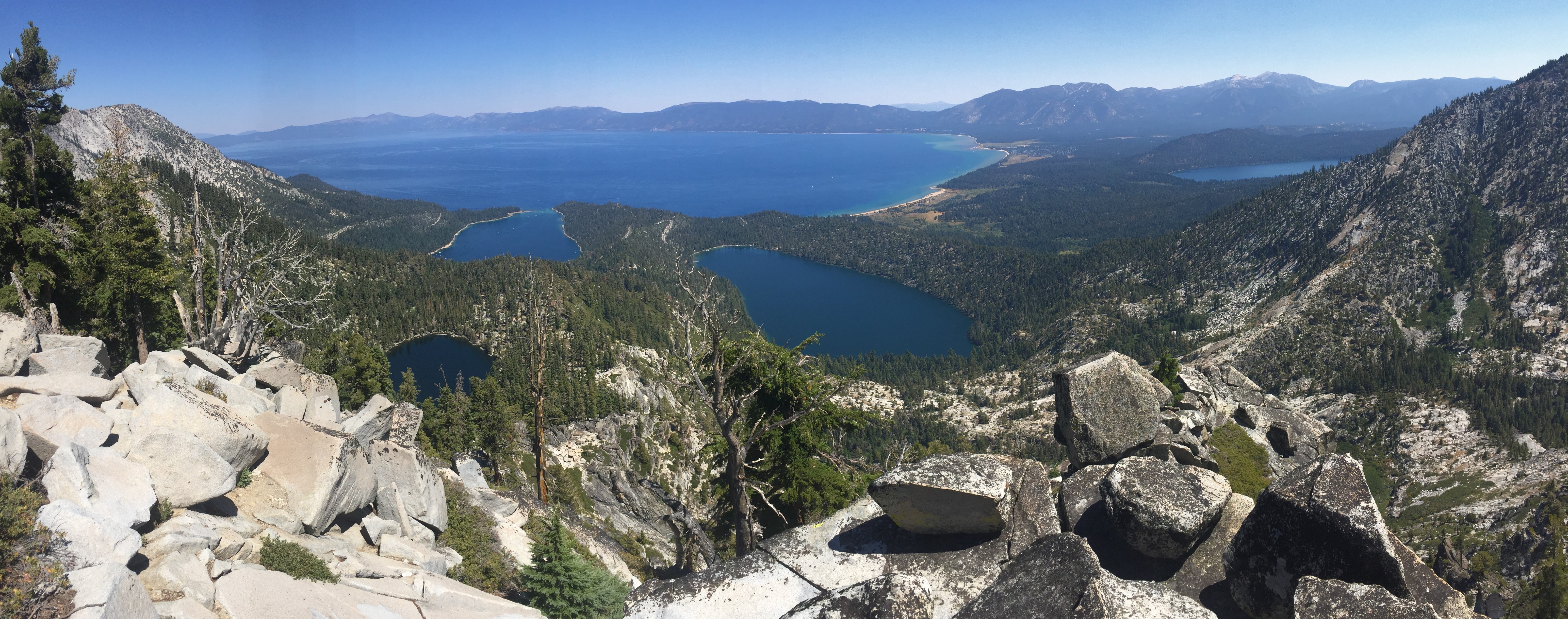
Granite Lake
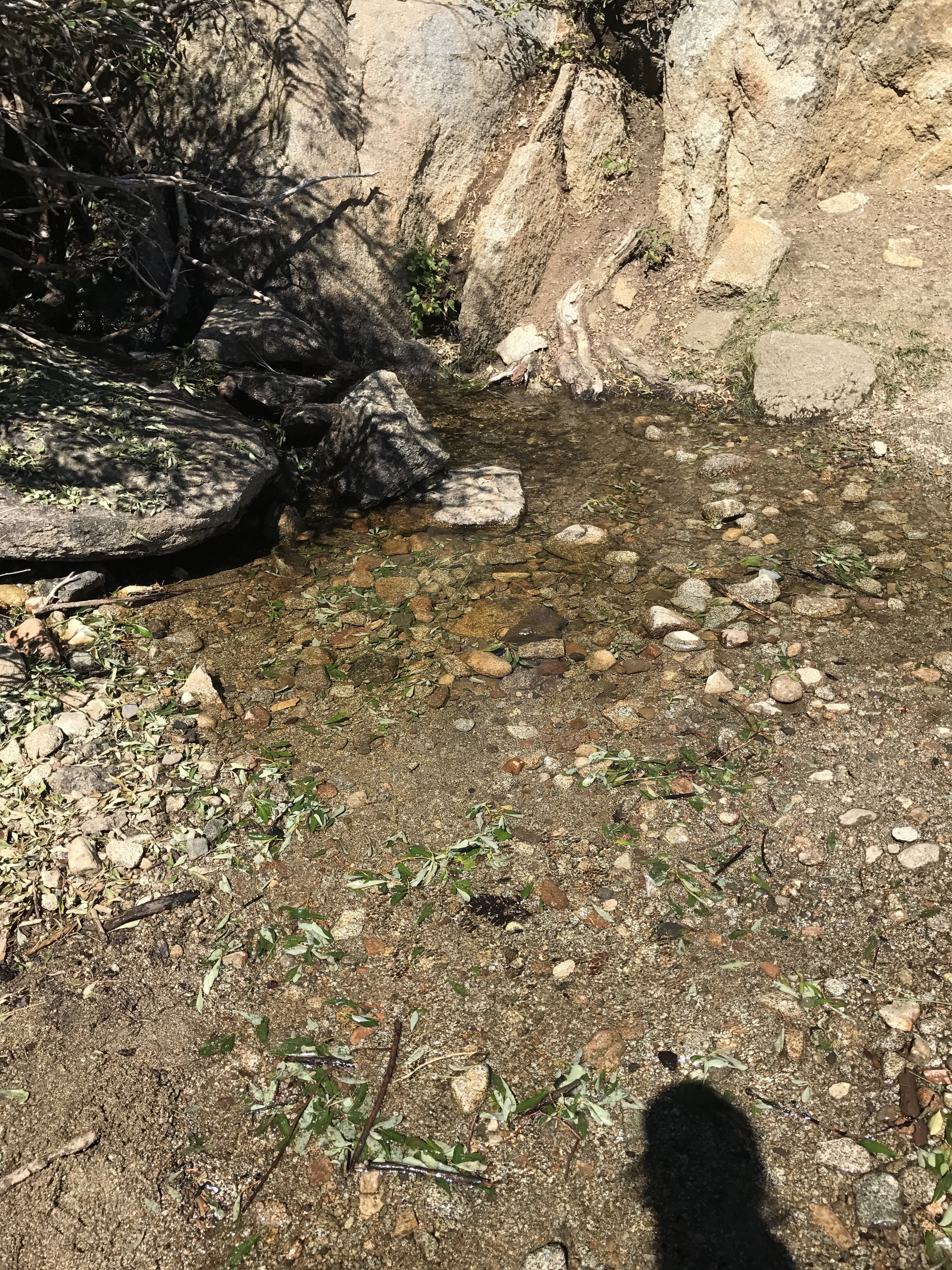
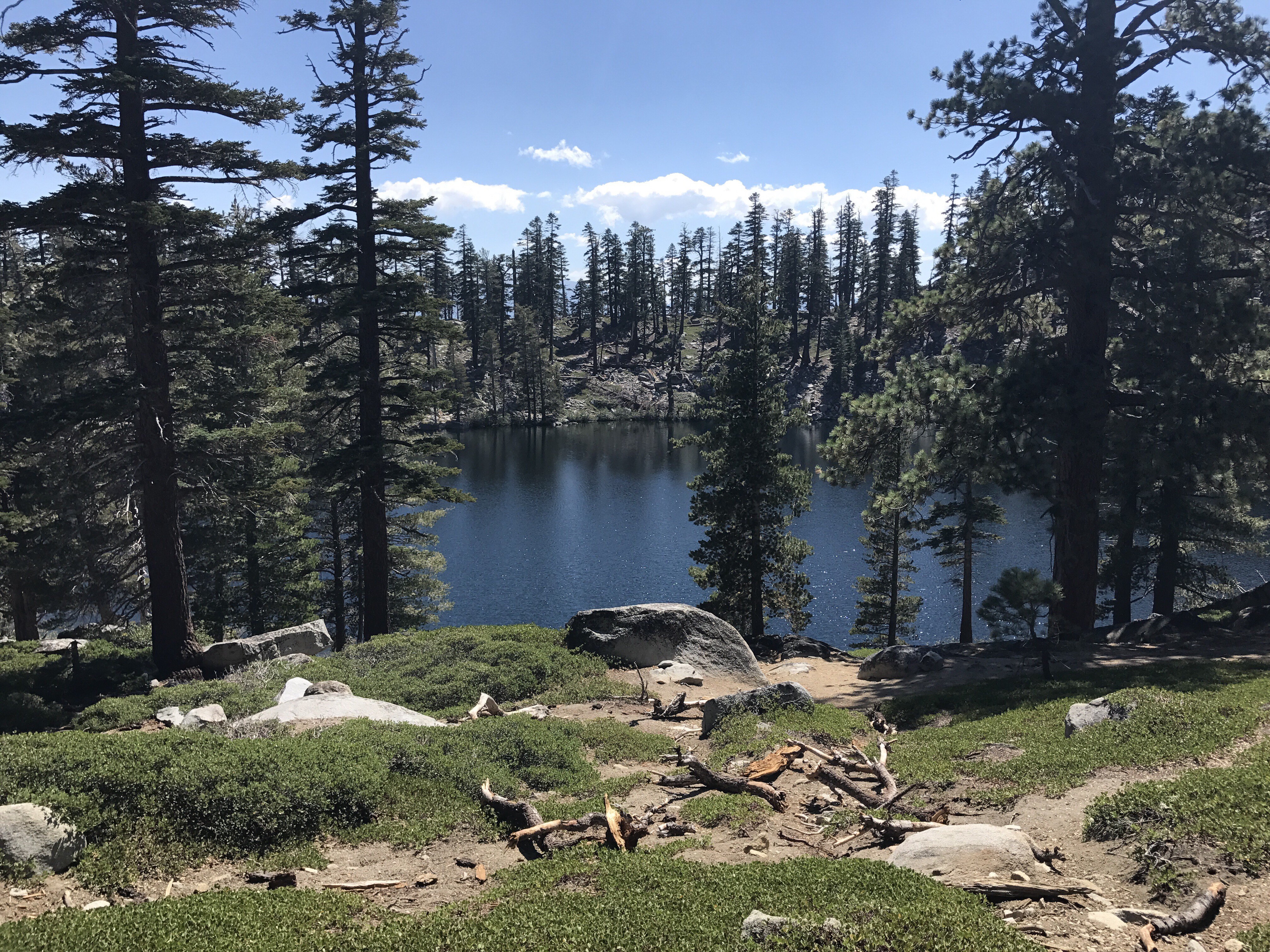
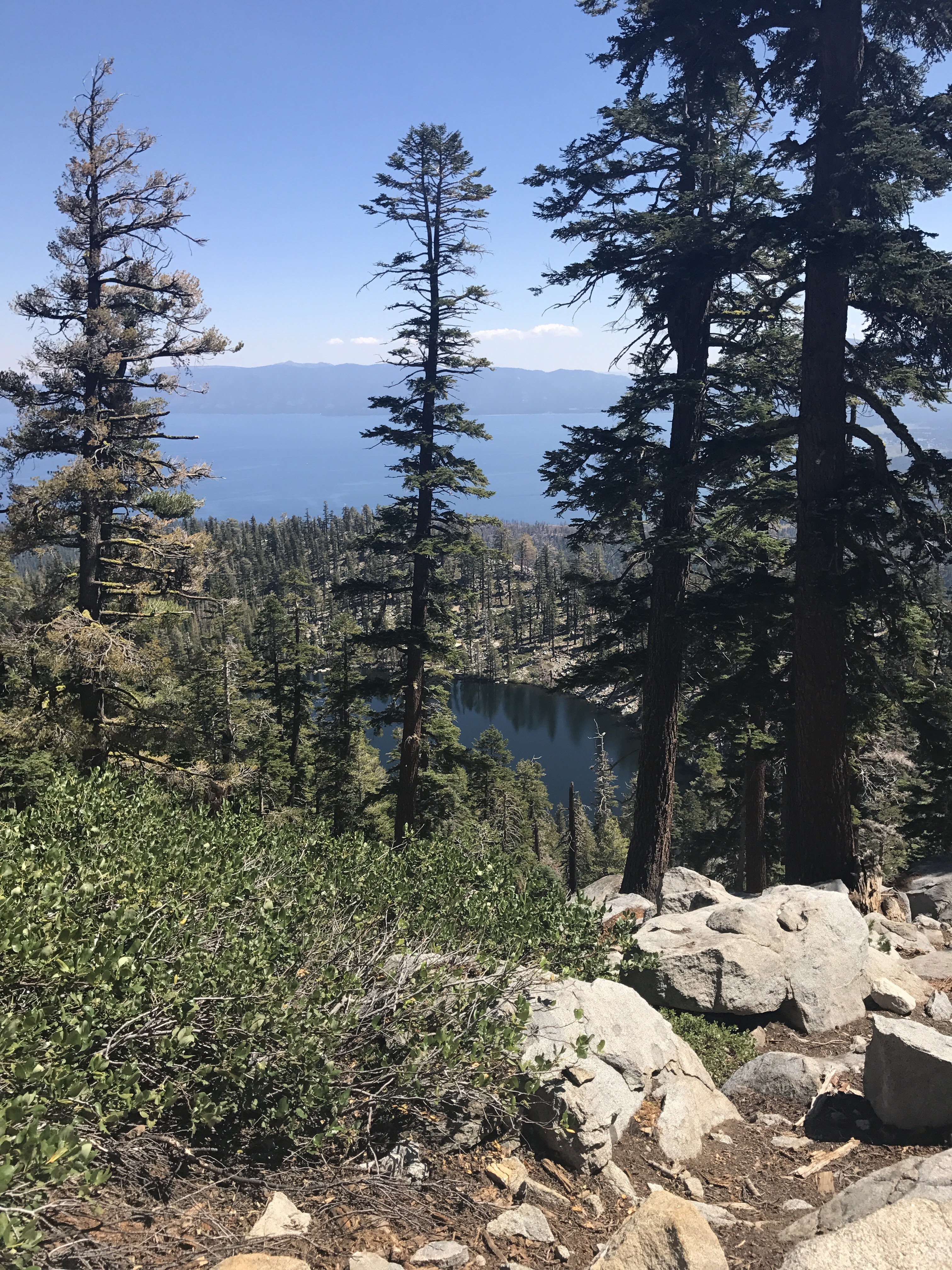
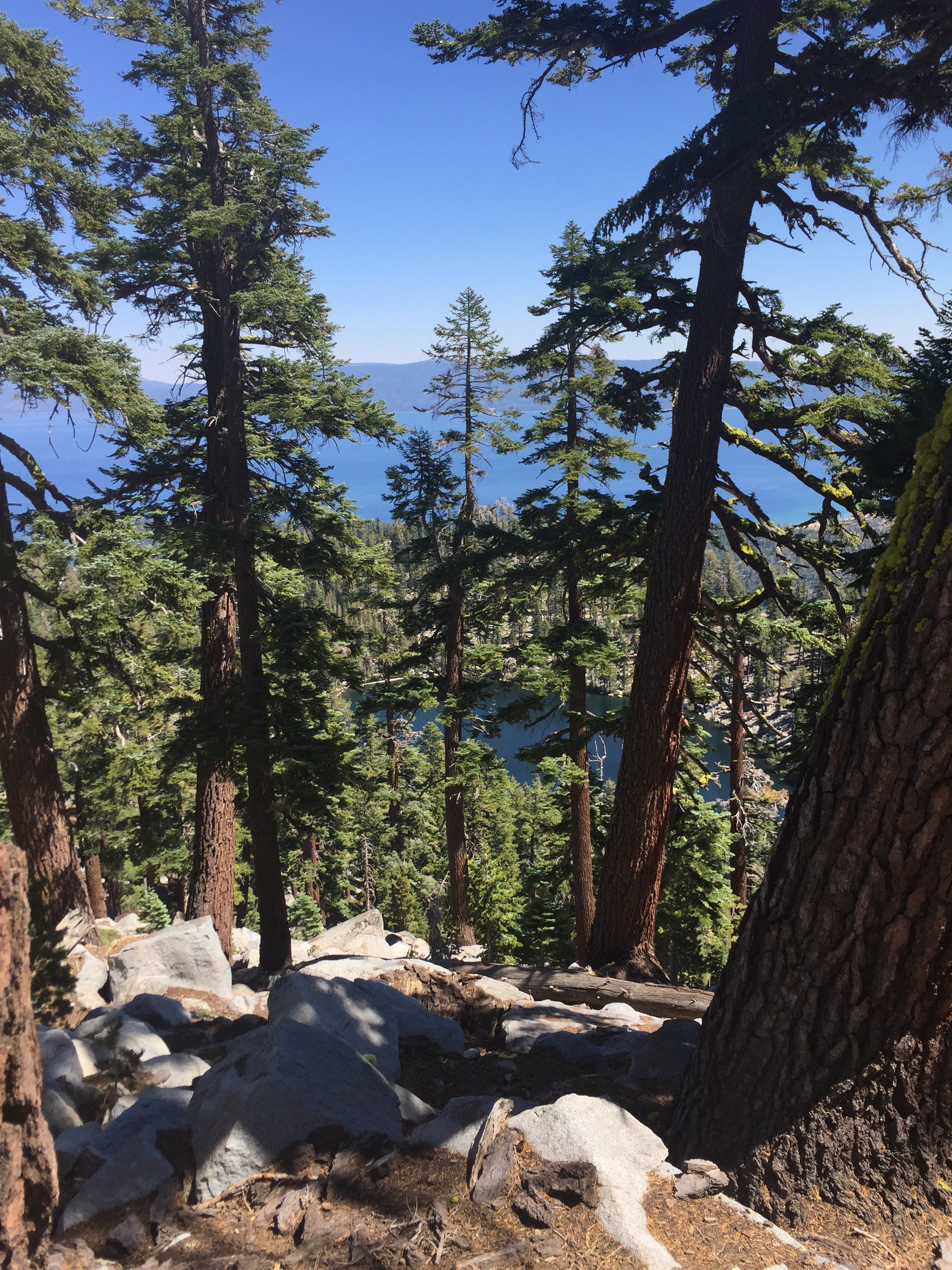
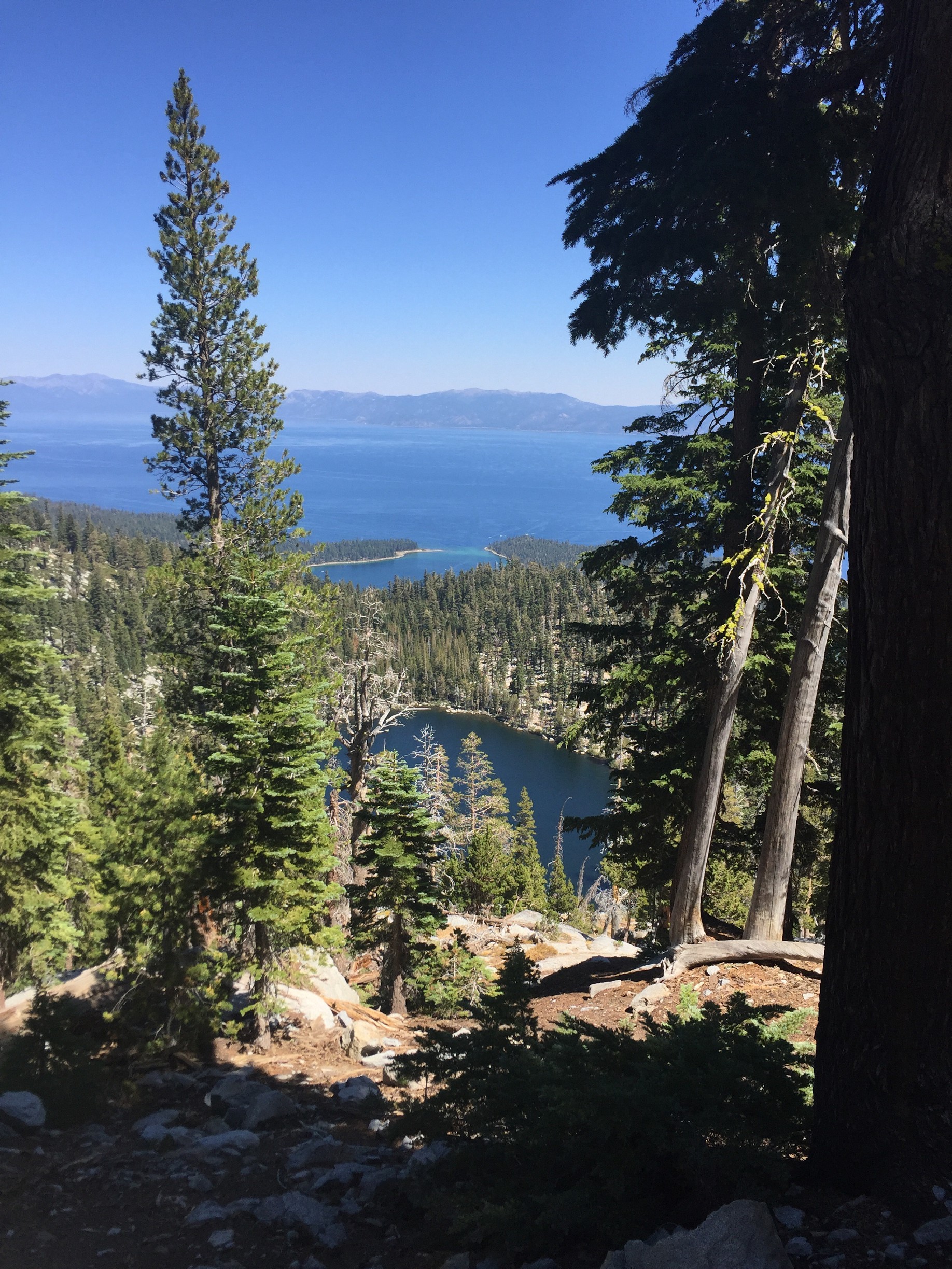
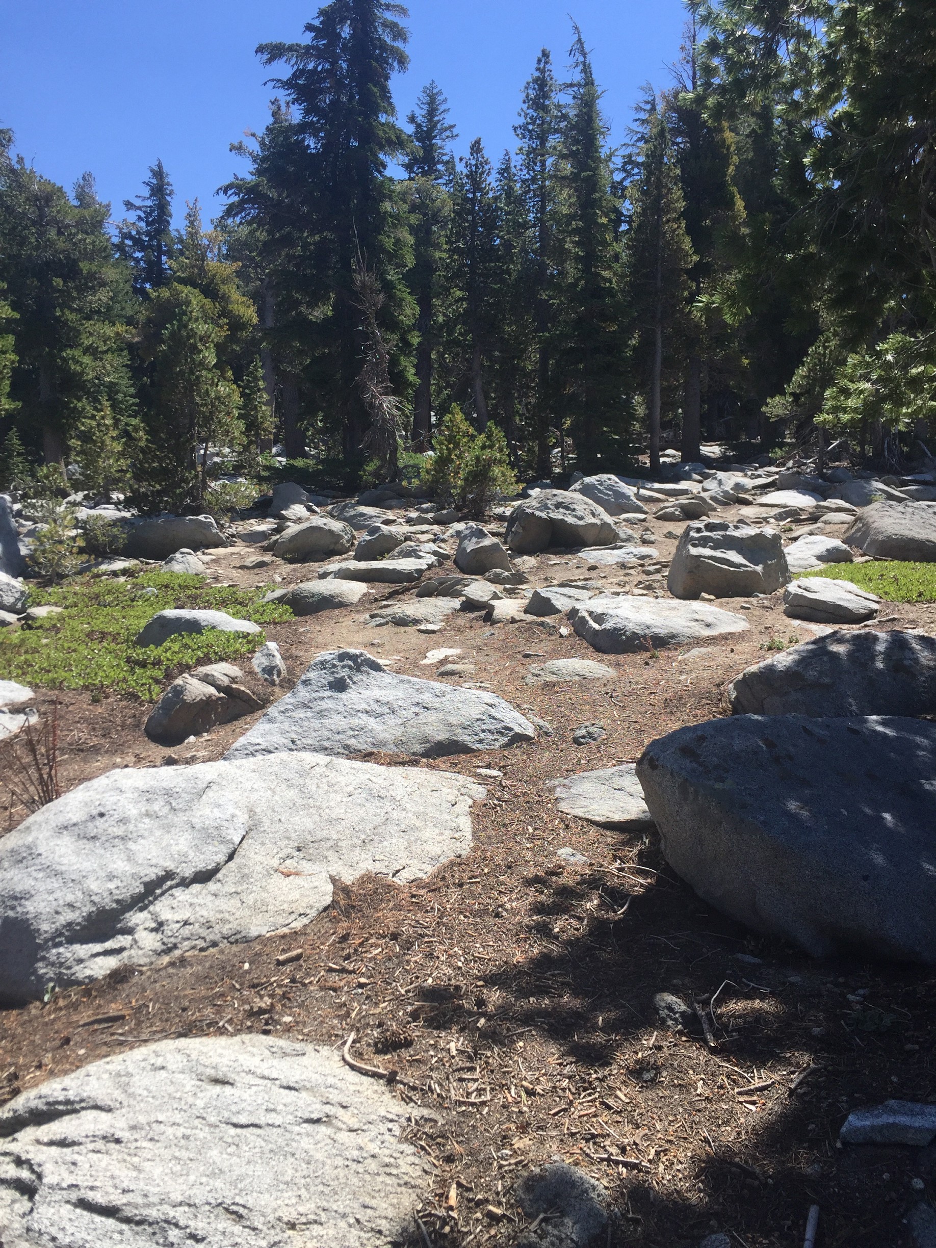
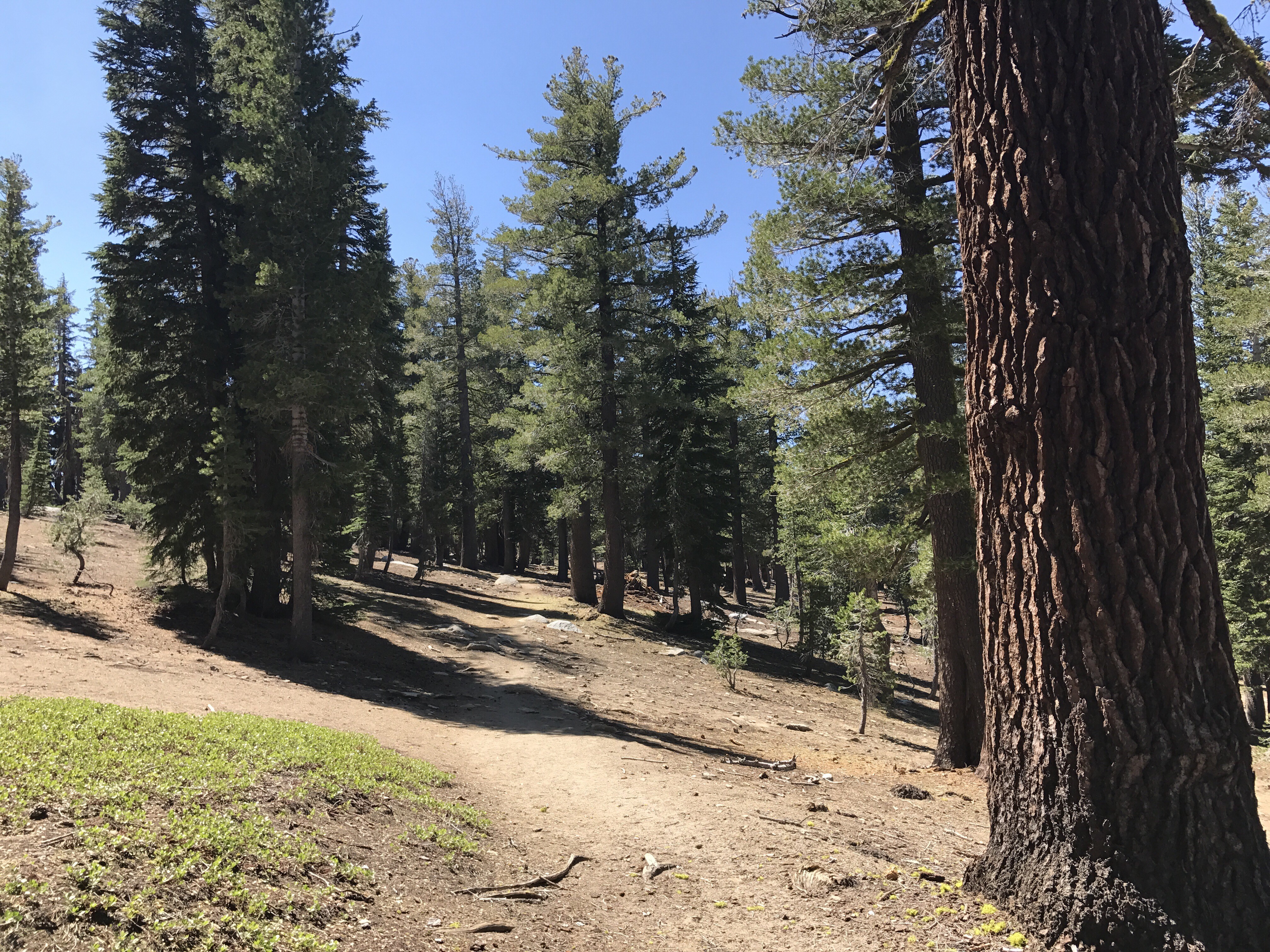
After another 2/3 of a mile, still a steady uphill climb but with fewer switchbacks, you approach Granite Lake. Many small, unmarked trails lead down to Granite Lake from the main trail. For many, this is a great destination for their hike. Surrounded by trees along the water’s edge, plenty of rocks to sit on, it’s a nice place to have lunch.
Main Trail Summit
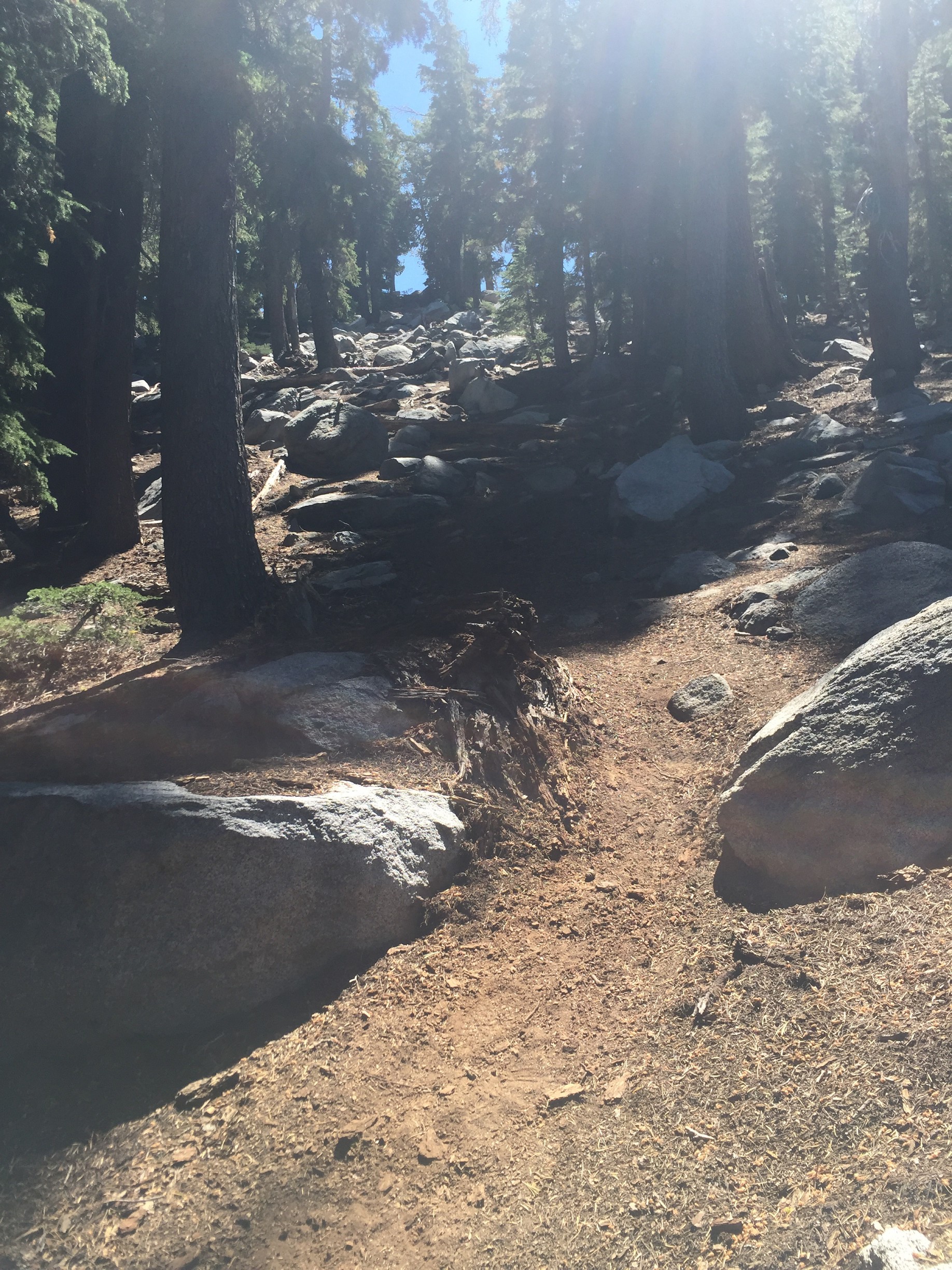
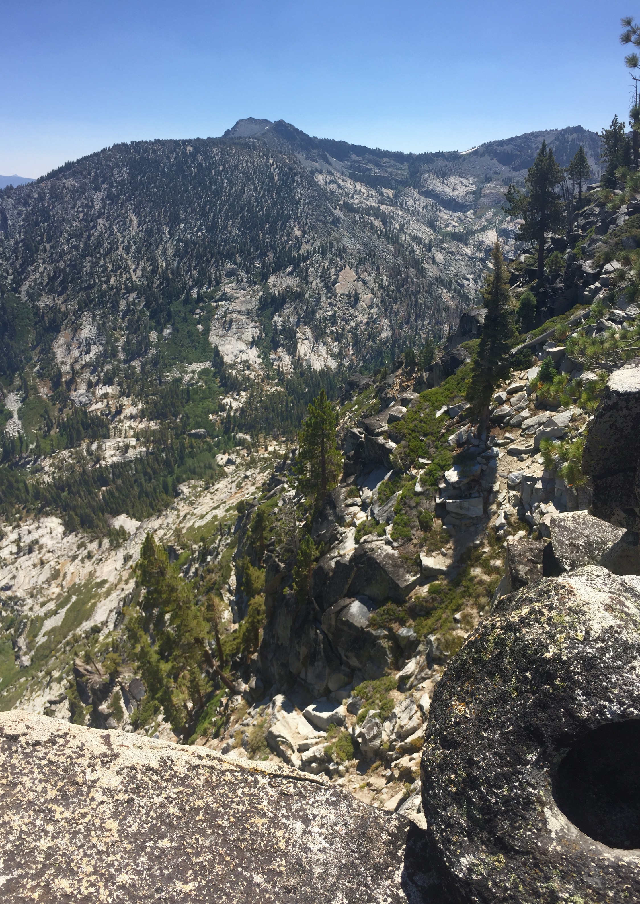
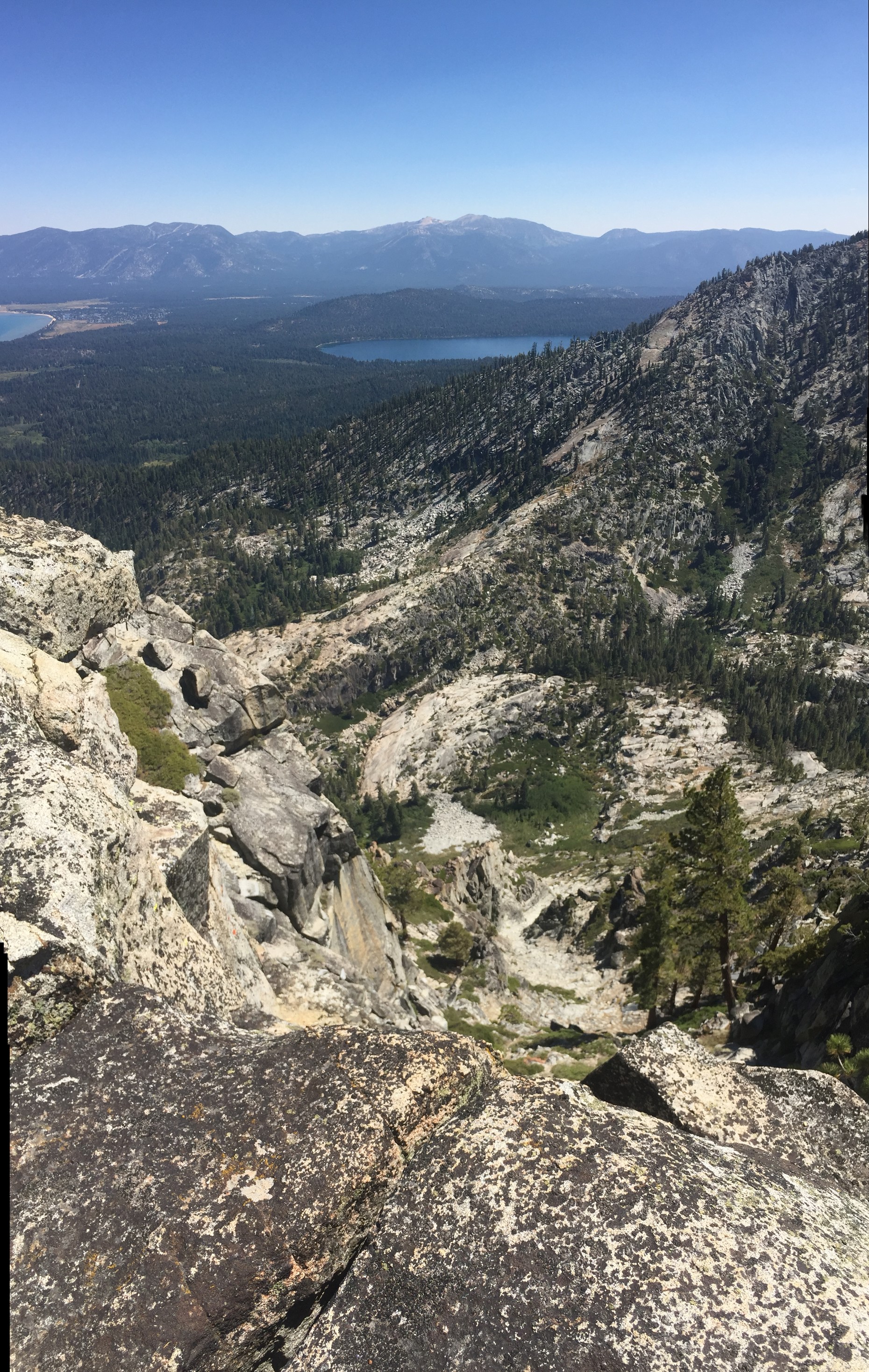
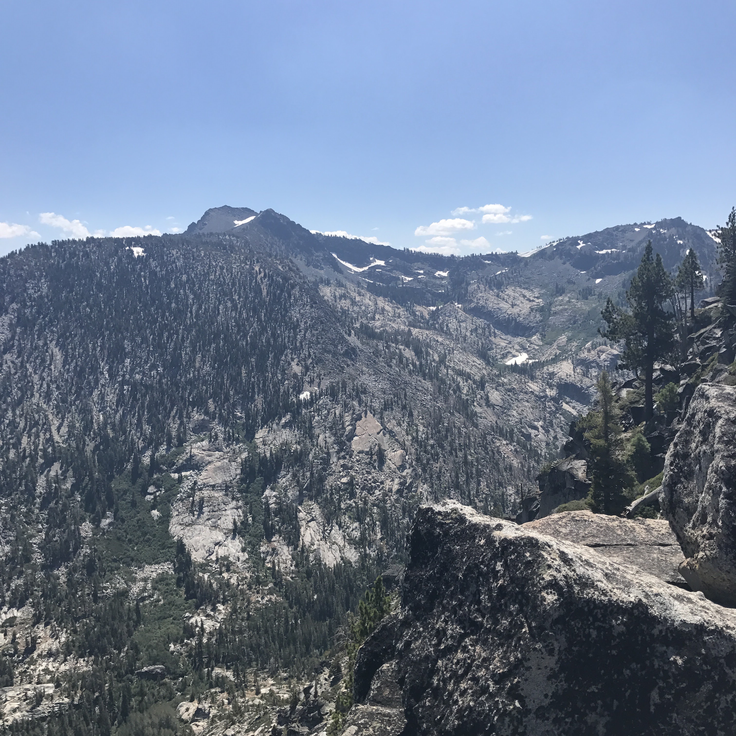
After 1 3/4 miles of nearly continuous uphill hiking, the trail mercifully levels off. From here, you can continue on Granite Lake Trail on a mostly straight and flat trail for a bit until it starts to go downhill. To the right are magnificent views into the canyon and Eagle Lake below. To the left is a massive hill that leads to Maggie’s Peaks.
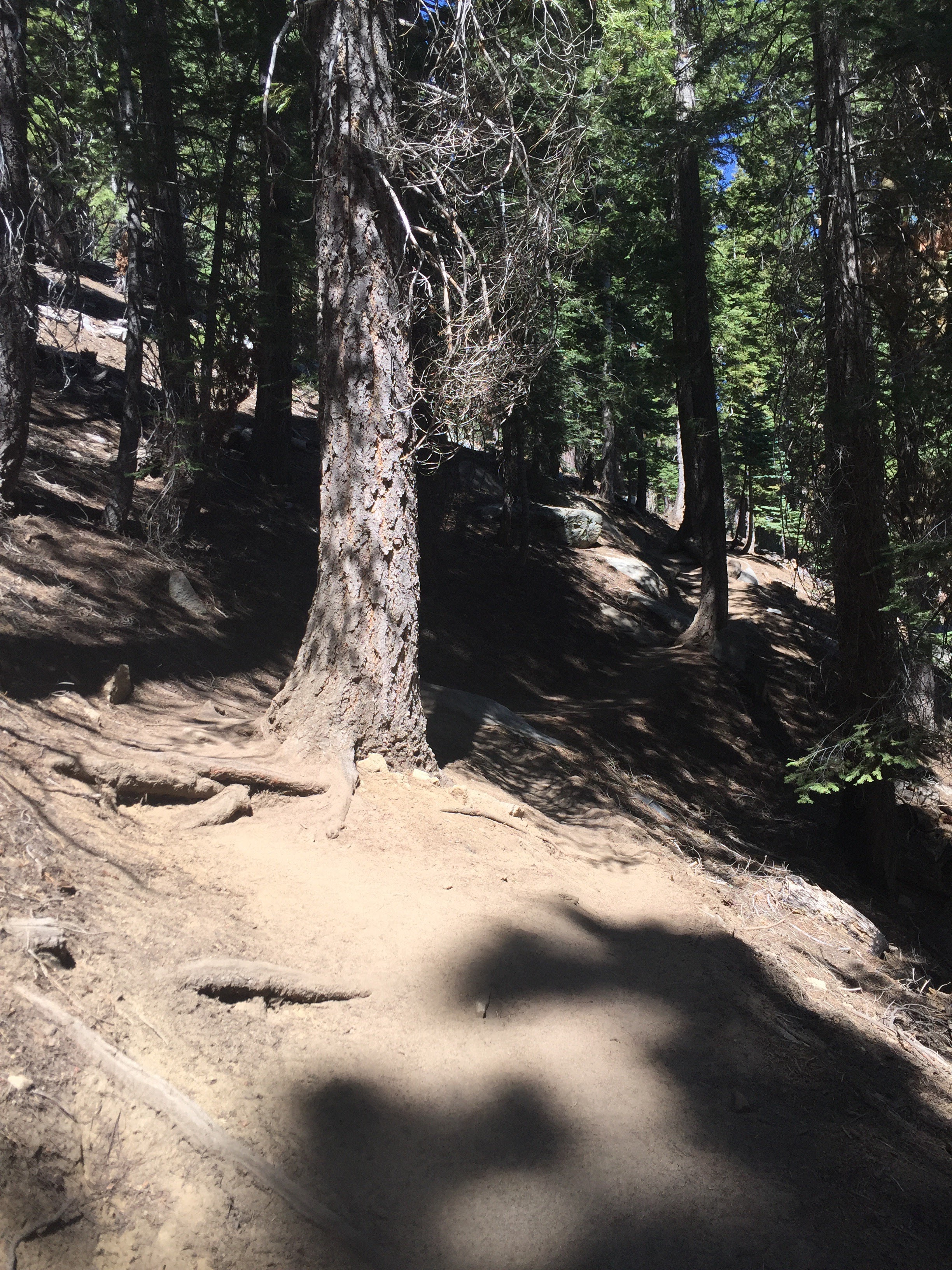
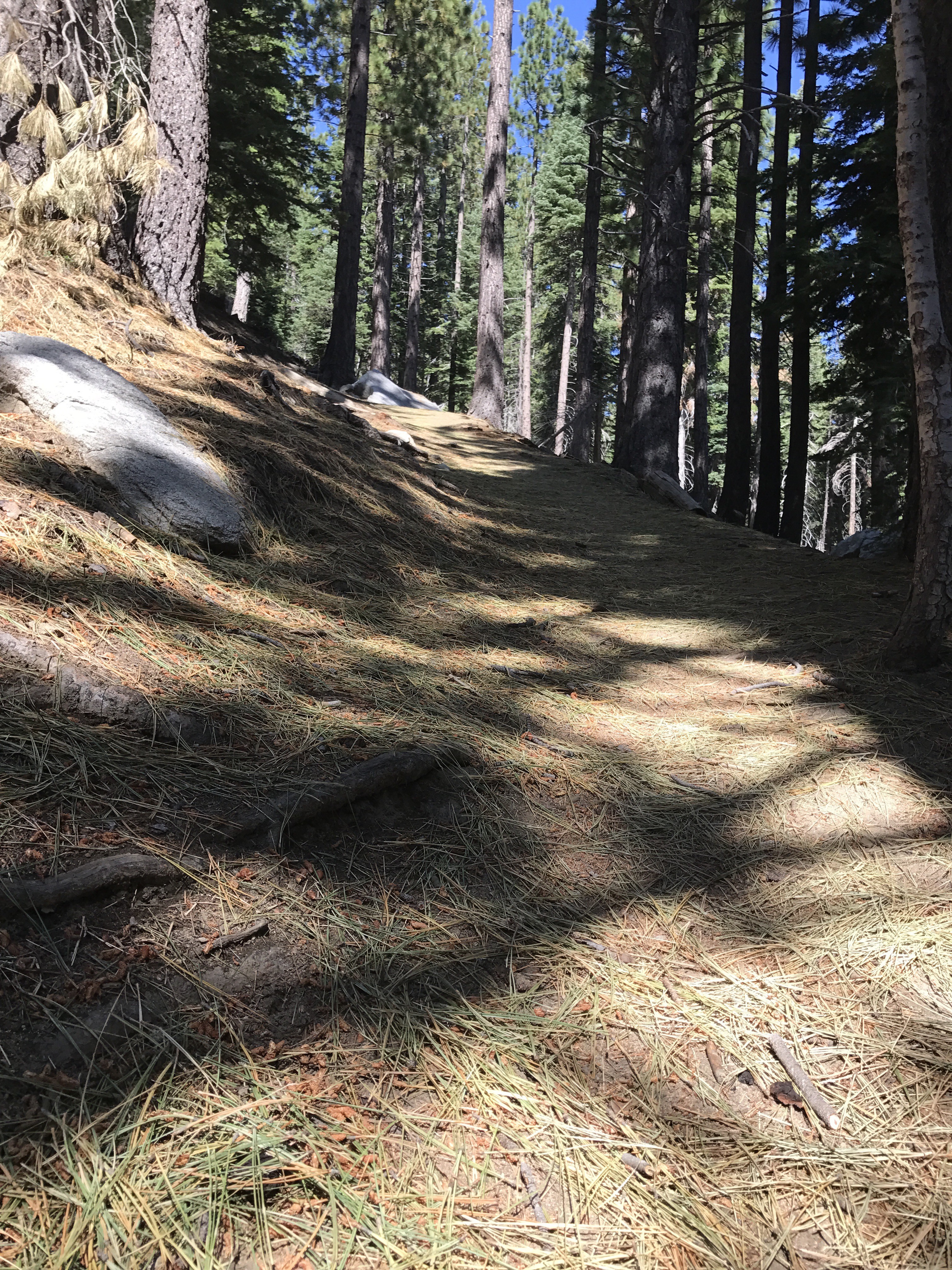
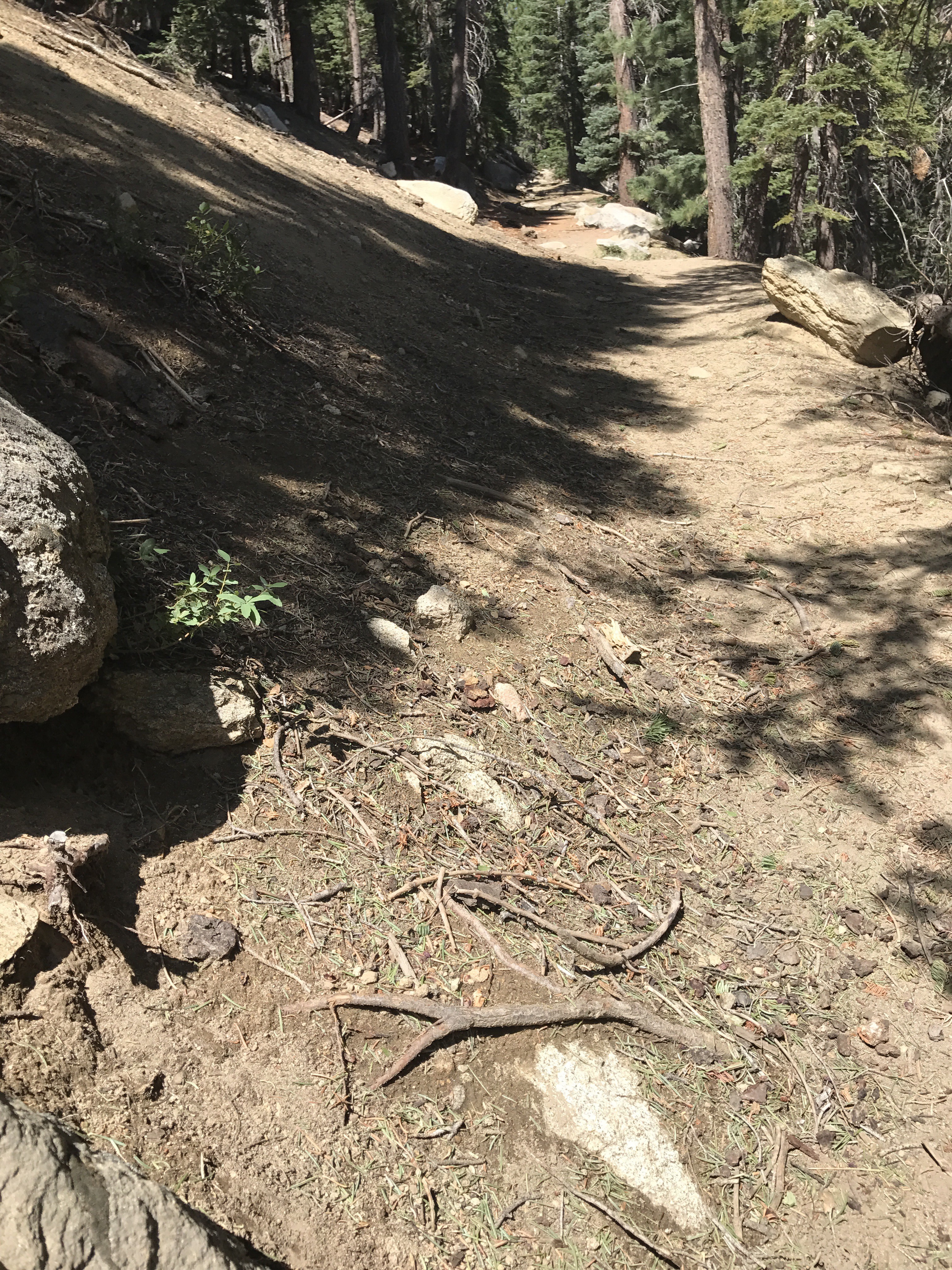
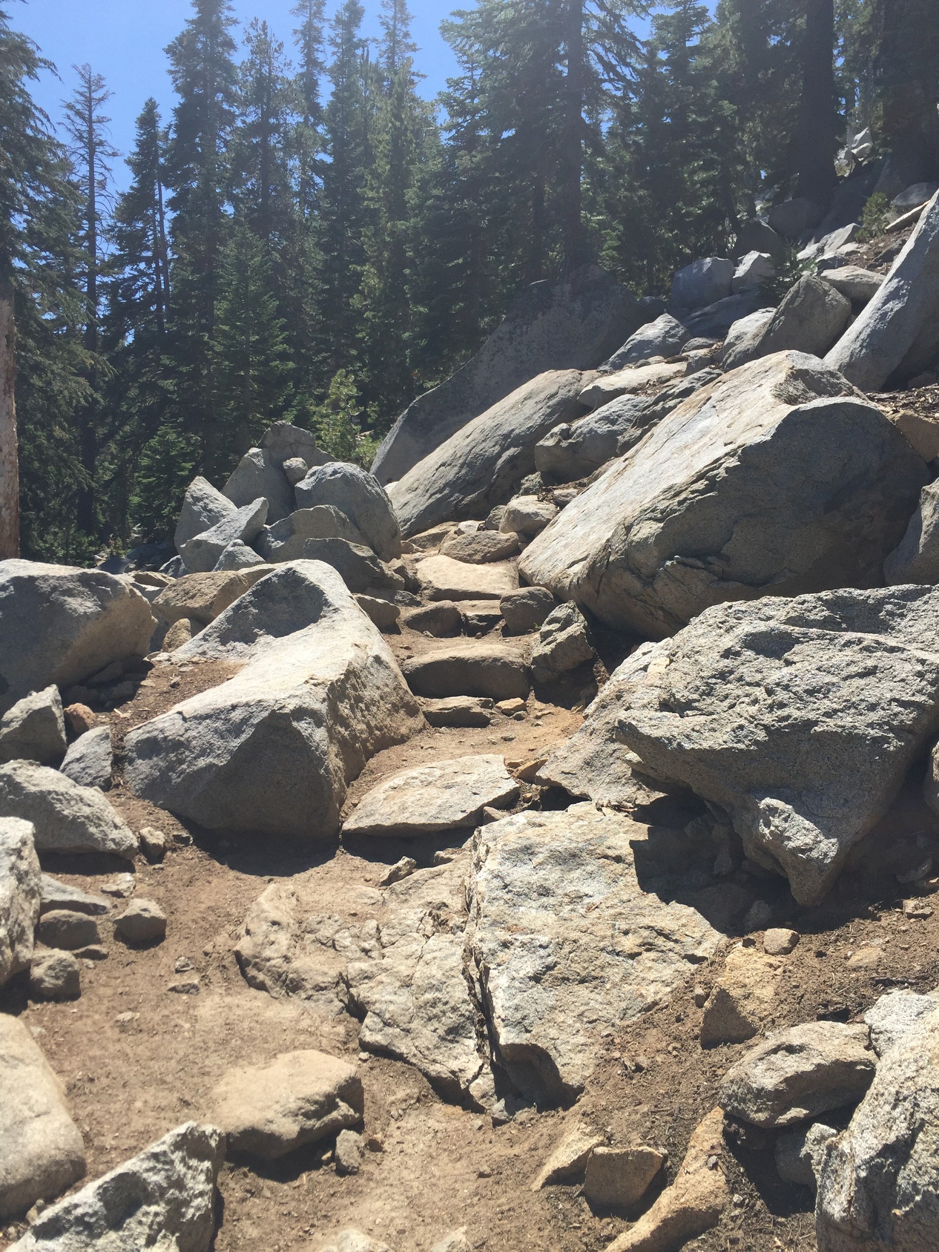
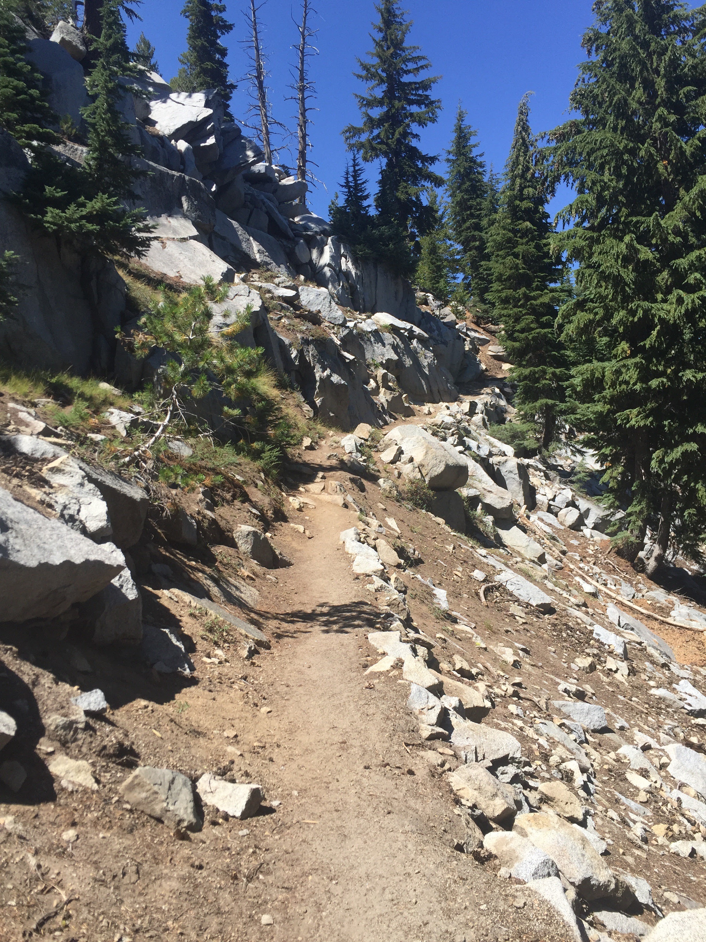
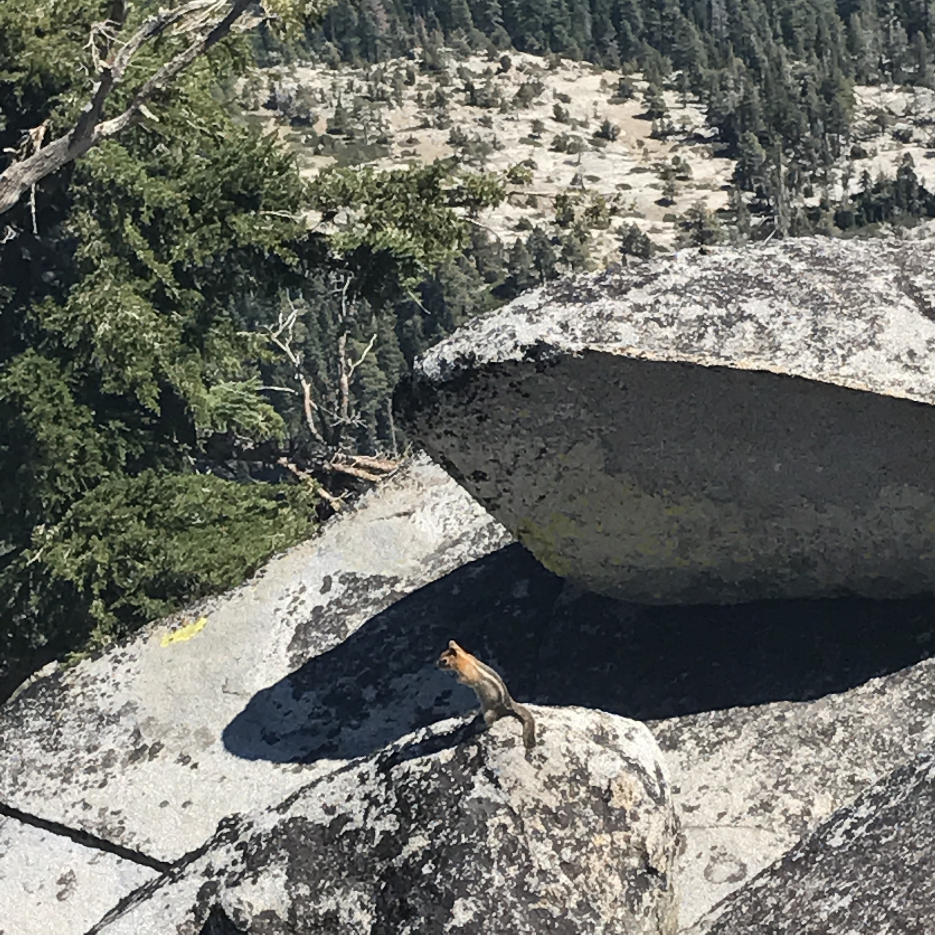
There are no clear trails to get up to Maggie’s Peaks. Soft dirt and often pine needles make the ground squishy, so make sure you have good footing with each step. Parts of it are precariously steep. I don’t think I have ever gone up to Maggie’s Peak the same way twice. (Also, my descents back down have never traveled along the same way that I went up.) Just keep climbing uphill, take as many switchbacks as you need. You’ll eventually get to a collection of huge boulders.
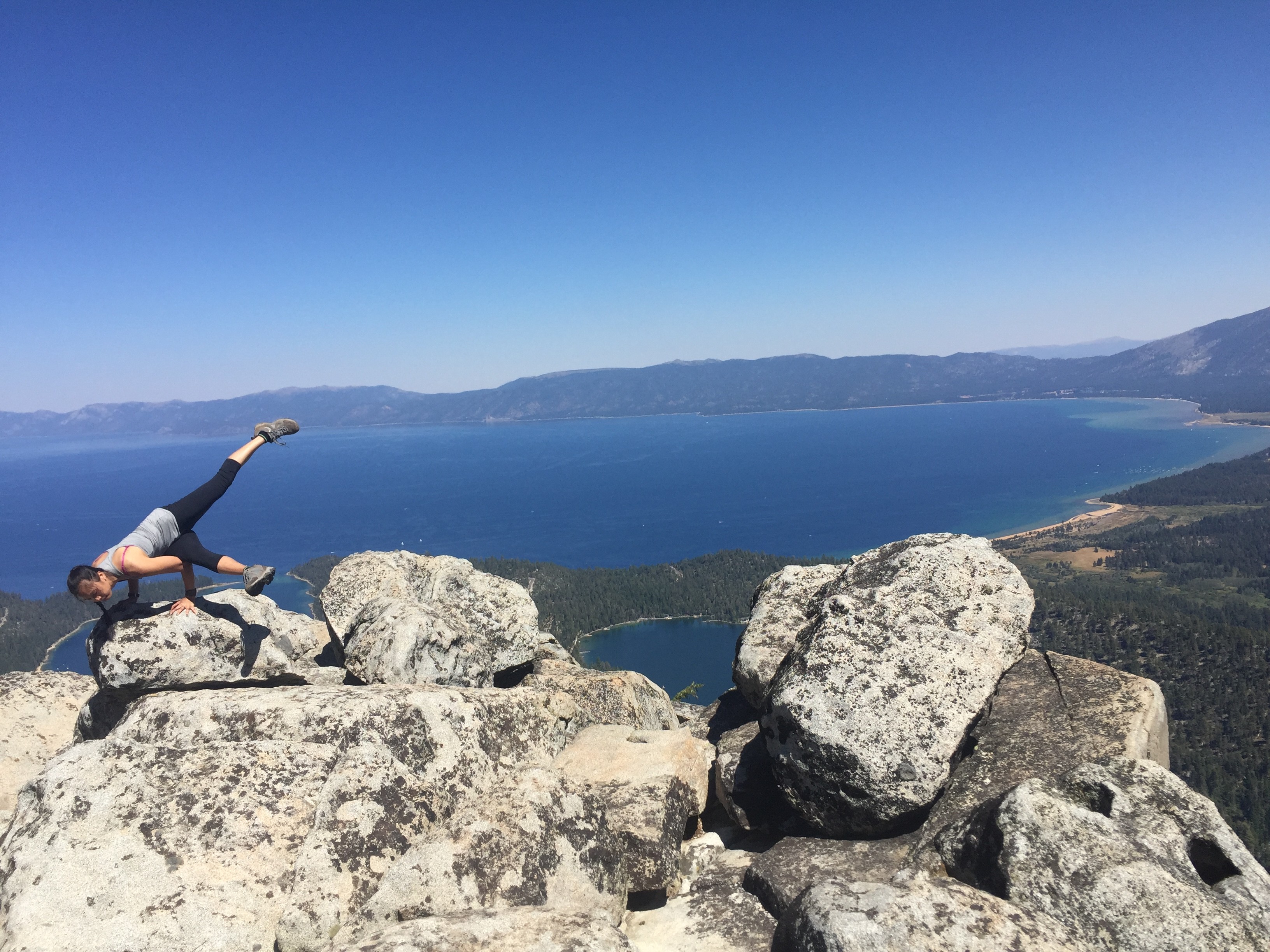
Maggie’s Peaks
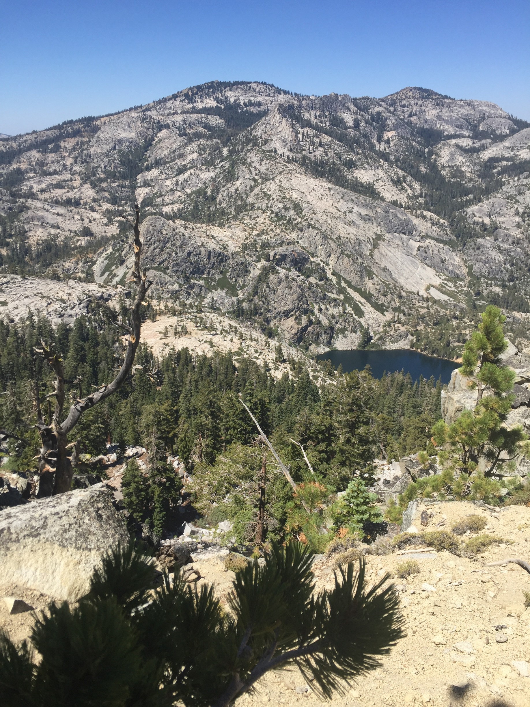
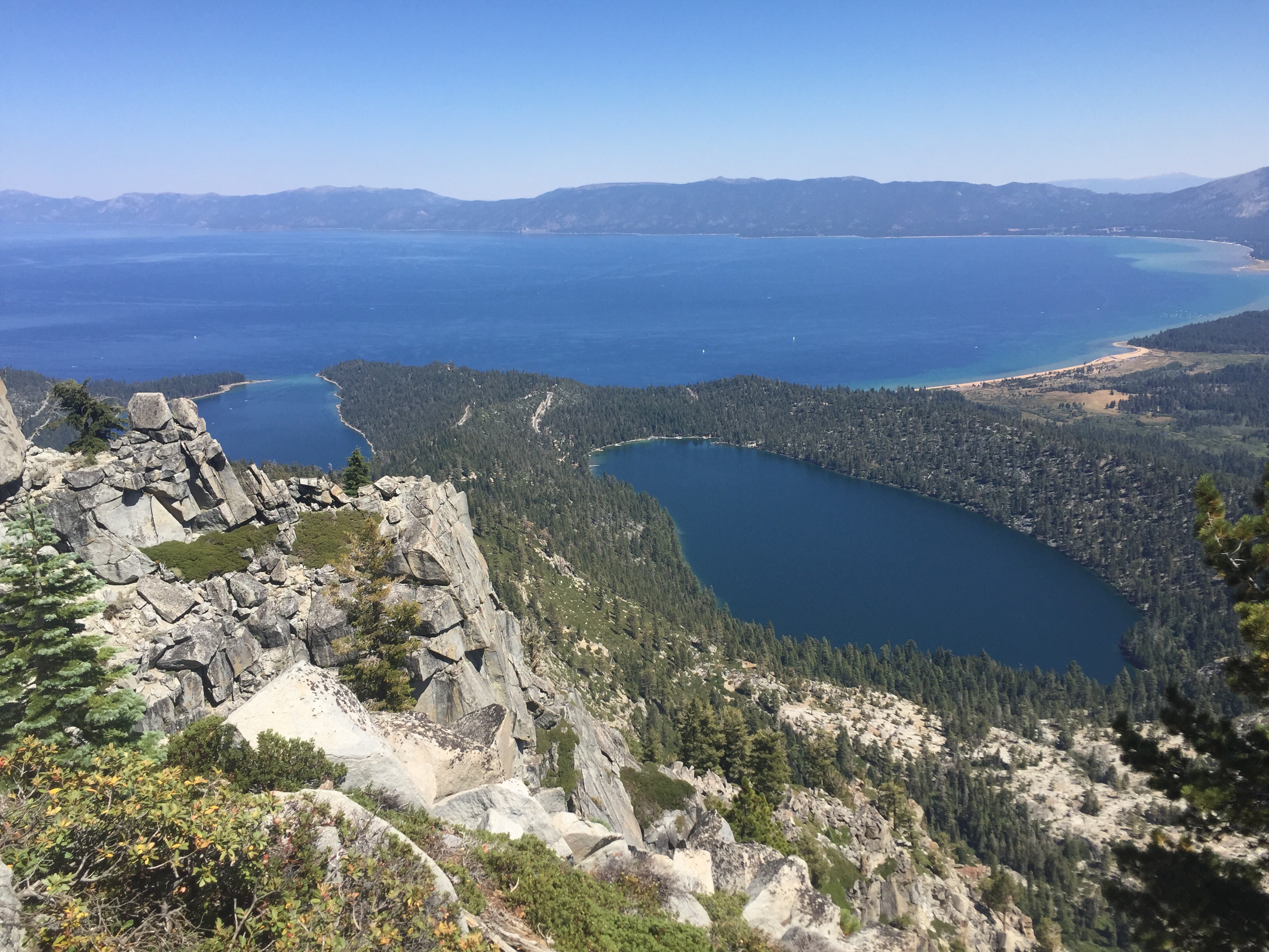
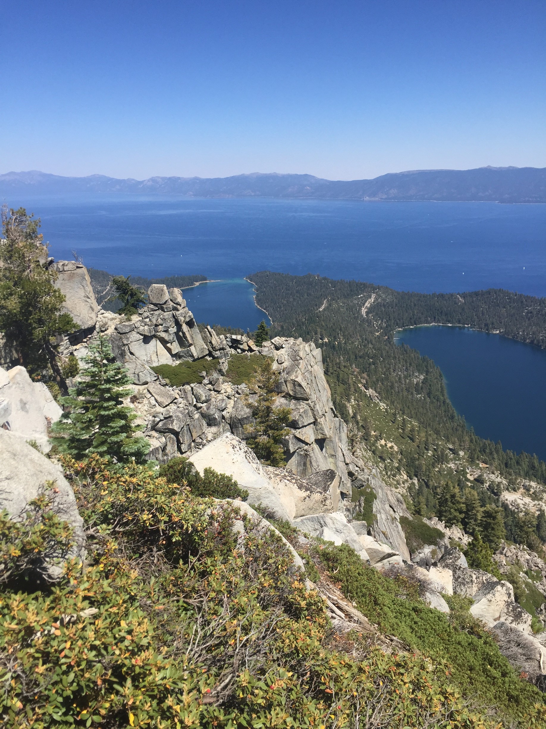
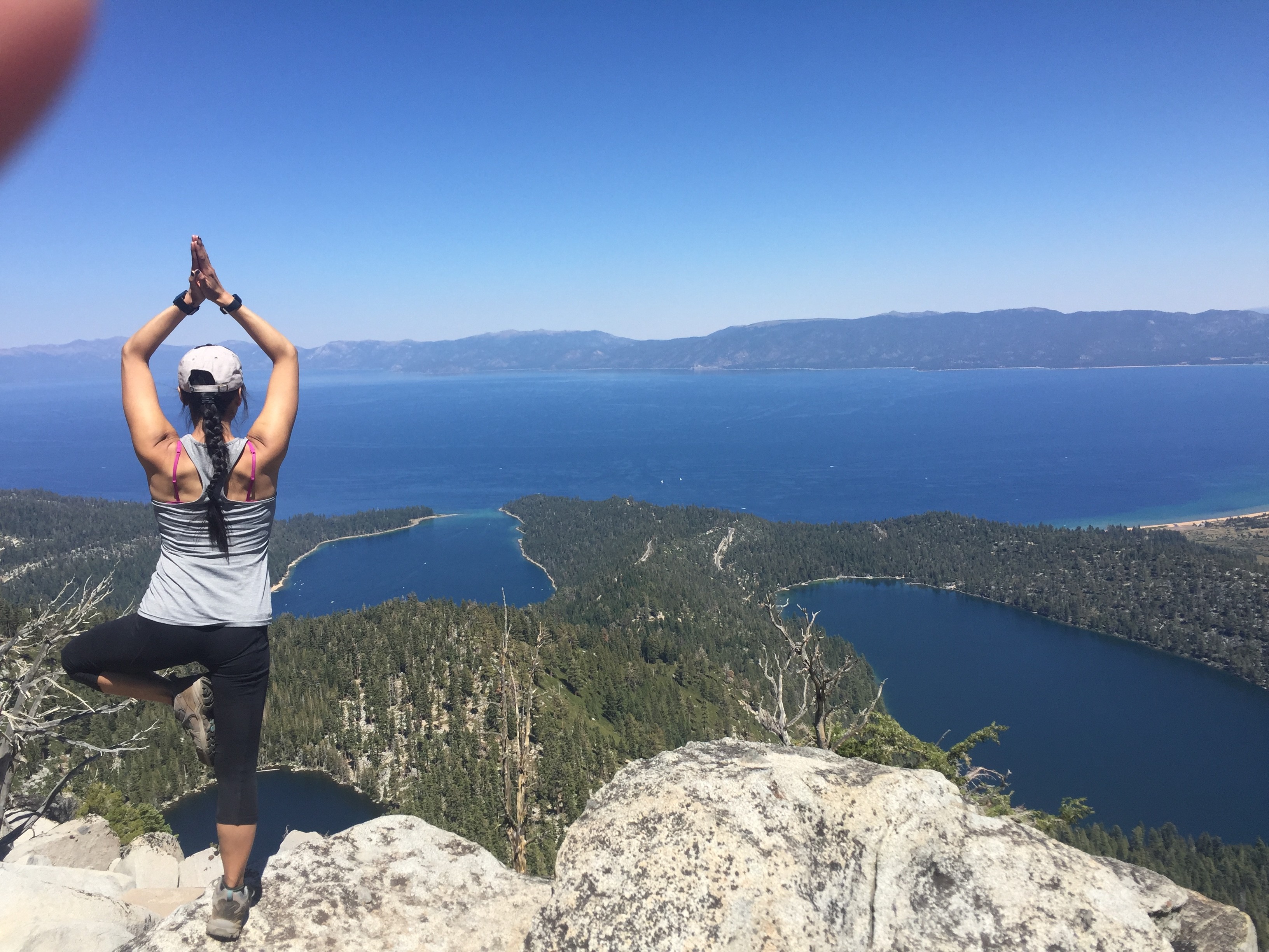
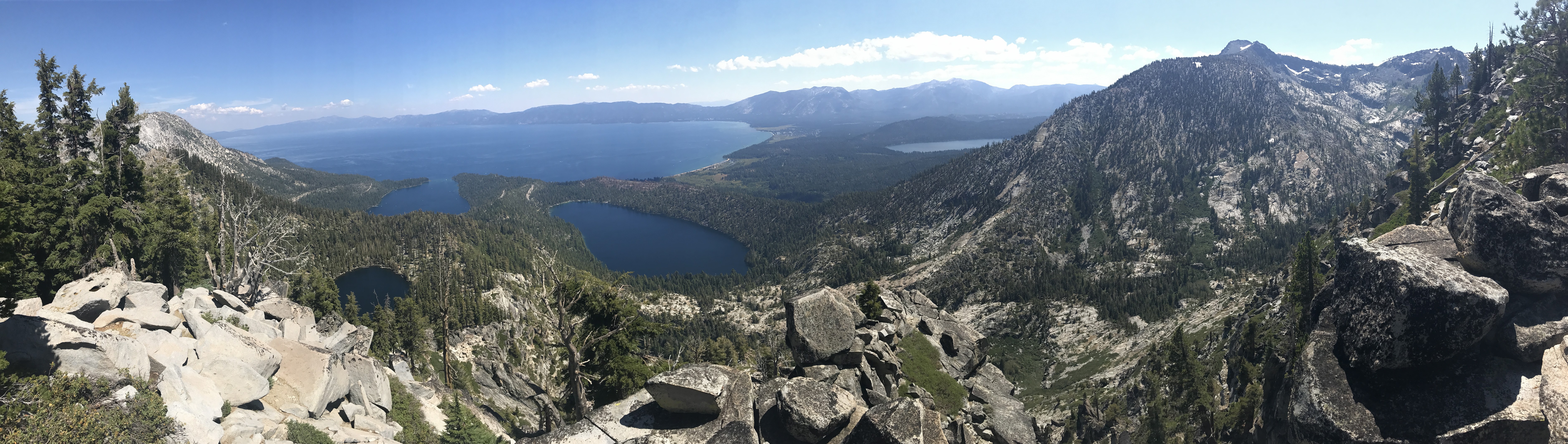
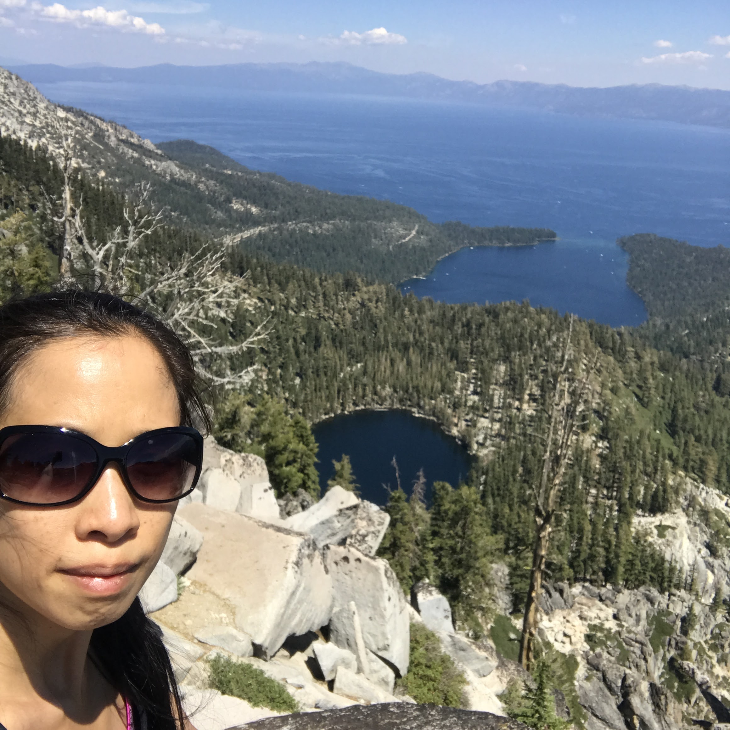
Once at the boulders, it’s a bit of some rock-hopping if you want to get to either Maggie’s Peaks North or Maggie’s Peak South. Both offer mind-boggling, grand views of not only Lake Tahoe, but also Emerald Bay, Granite Lake, Cascade Lake, and even the northern edge of Fallen Leaf Lake in the distance.
Most of the time when I have come up here, it’s been just me. It’s a perfect spot to just sit and marvel at nature. Being 1700-1800 feet above where you began may fill you with awe. On a clear, sunny day, you can even see the California/Nevada state line and the casinos that are clustered there on the Nevada side. But the deep, dark blue lakes are what captivates my attention.
I make Maggie’s Peaks my lunch time spot. I always bring some dried fruit and nuts or a sandwich to eat while up there. Especially after all that continuous uphill hiking, I’m usually starving by the time I get to the top and need to refuel. What better lunchtime companion to have than Mother Nature herself and all her glory.
Continuing On Granite Lake Trail
As I mentioned before, continuing southwest along Granite Lake Trail is an option. It’s mostly flat and then downhill as far as I can tell. For my 2017 trip, I only had time to go maybe 1/2 mile further before I had to turn around and head back. Maybe next year I’ll be able to make a longer hike out of this area.
Descent Back Down
Yes, hiking back down is somewhat easier than hiking uphill, but it’s hard on my joints! My knees, especially, take quite a beating. And somehow, it always seems like it’s longer on the way back down than on the way up. So many times, I would think, “Oh, I must be getting close to the trailhead!” only to find that I still had another mile or so to go.
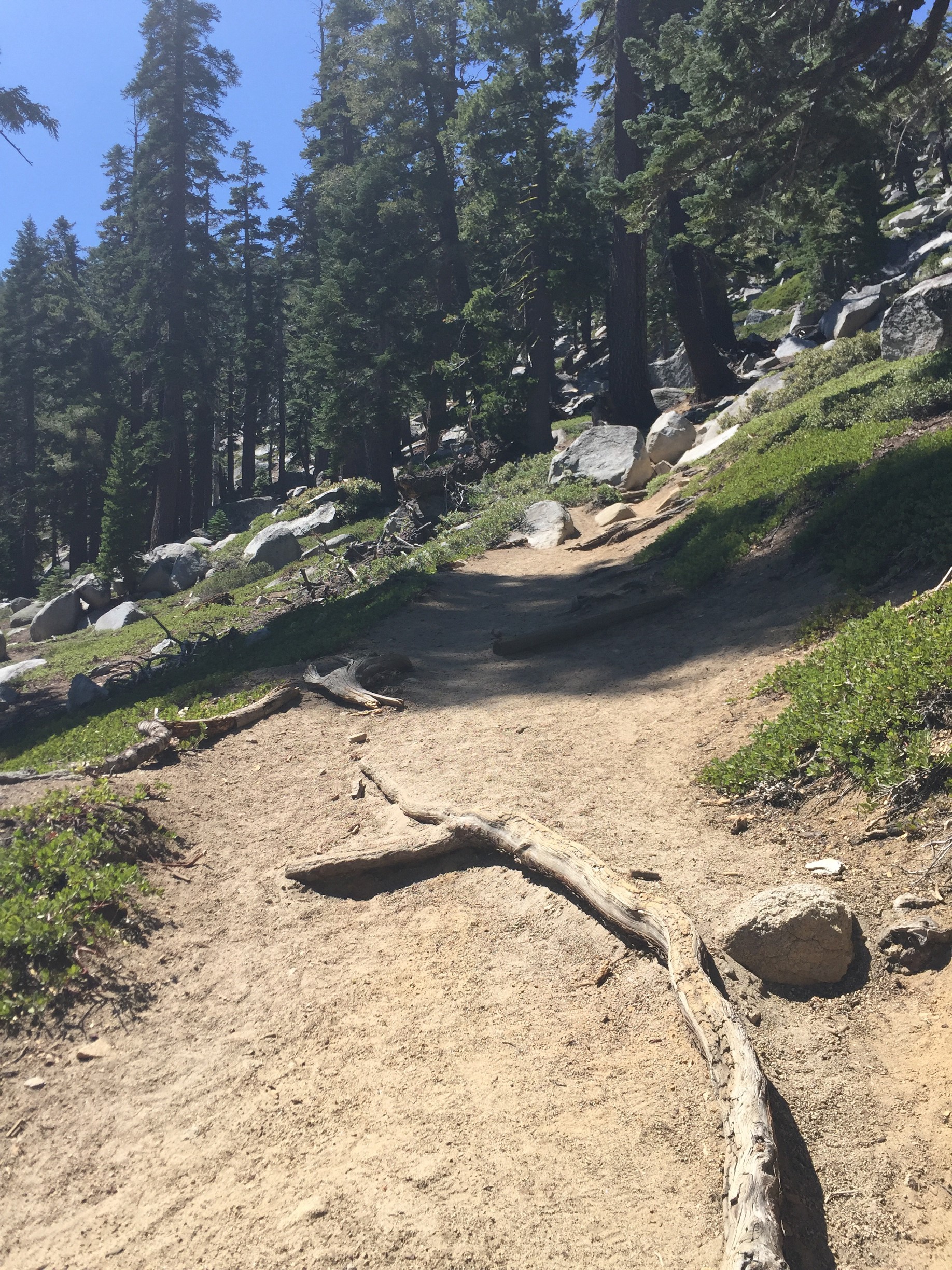
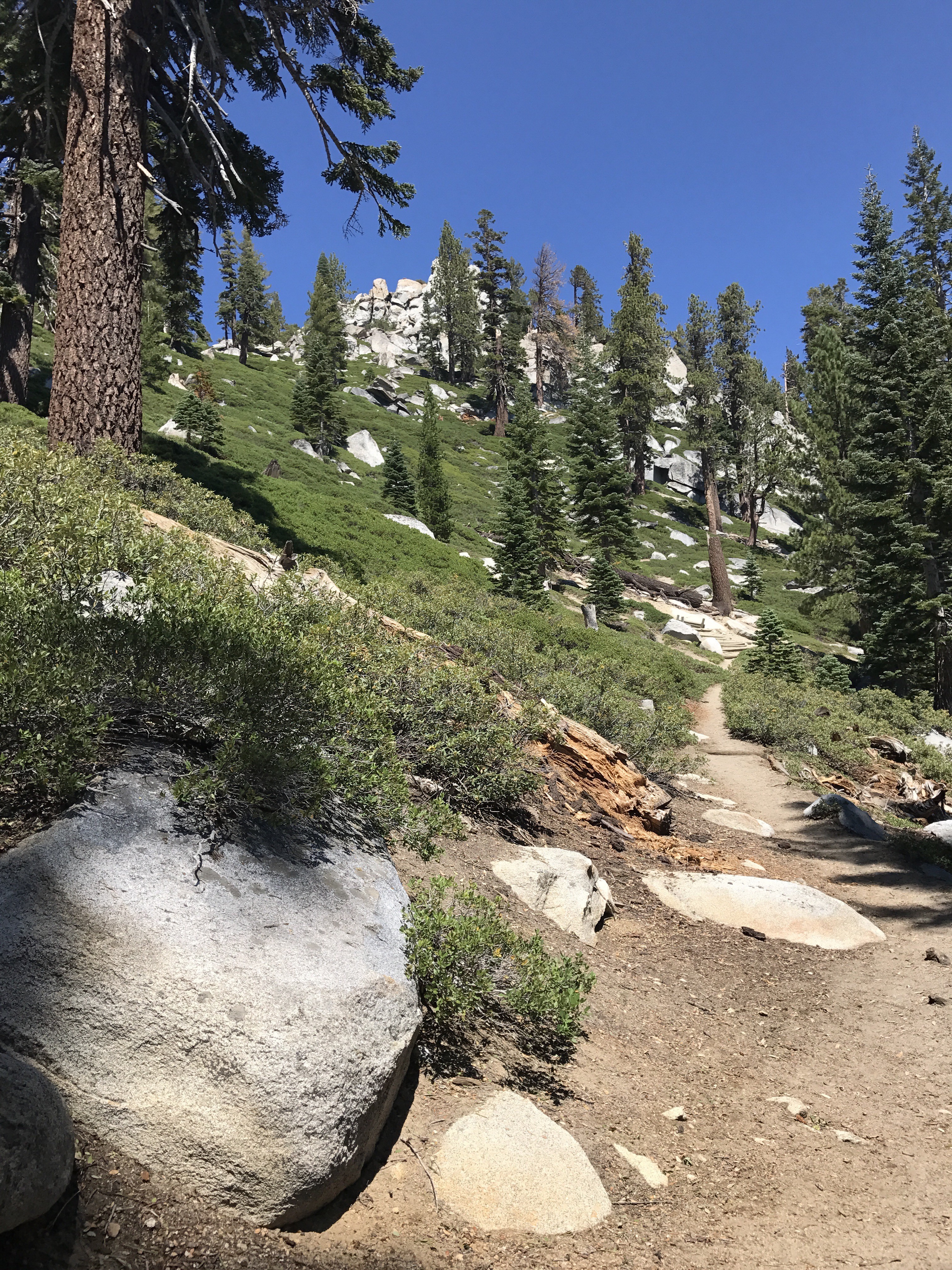
Photo Gallery
The photos below were a combination of both my 2016 and 2017 trips, all taken on my iPhone 6 and iPhone 7, respectively.